Iceland Travel Guide logo Iceland Travel GuideLOCAL TRAVEL AGENCY IN ICELAND My trip Talk to a local
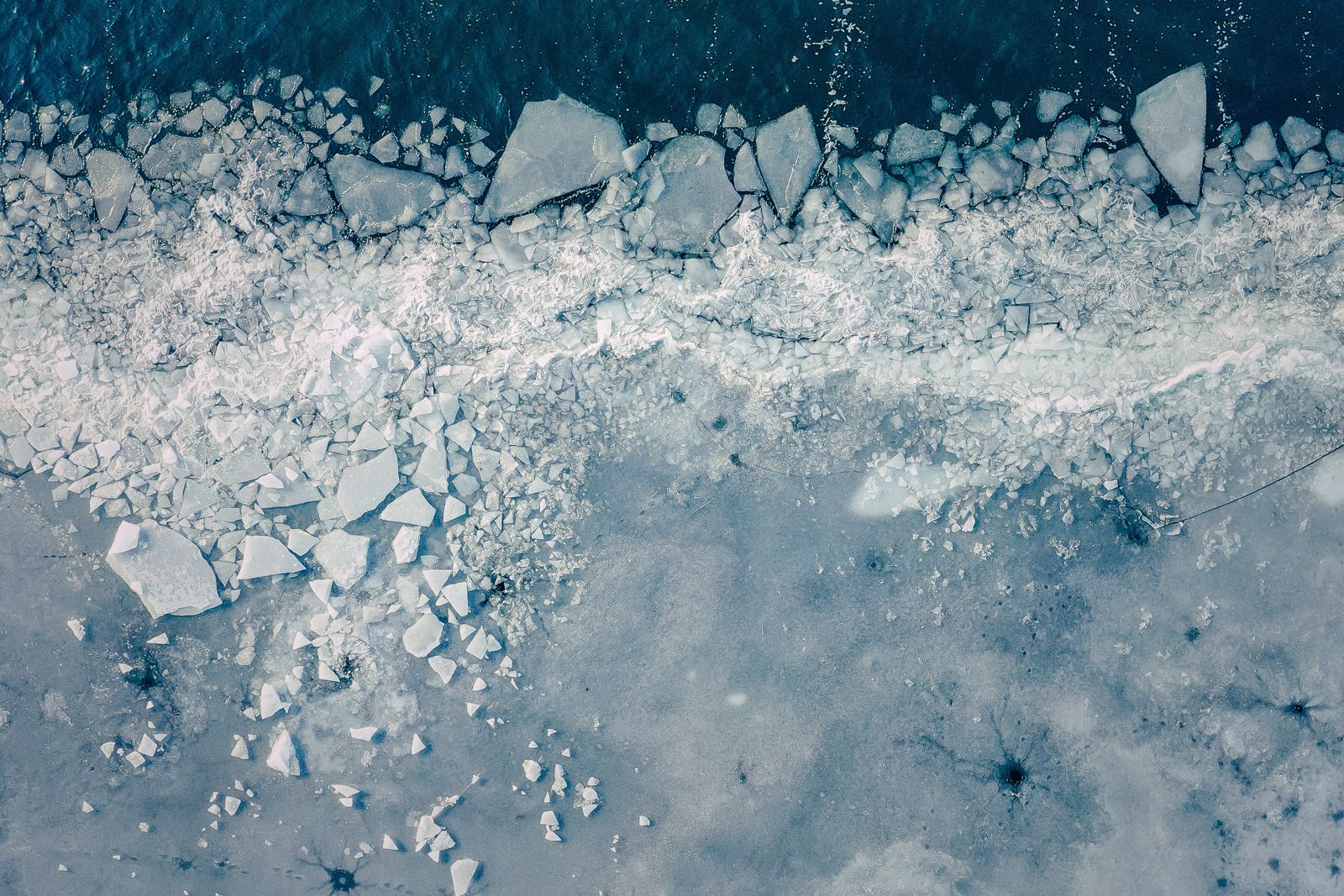
Grænalón glacial lake

Southeast IcelandGlacial lakeRemoteExperienced hikers
GRÆNALÓN IN SHORT

Grænalón (“Green Lagoon”) is a glacial lake beside the north-western edge of the Skeiðarárjökull glacier, part of Vatnajökull. It was once one of Iceland’s largest ice-dammed lakes, but it has almost completely drained as the glacier thinned. It is remote, has no facilities and is reached only on foot, by 4x4 or by helicopter.

ON THIS PAGE
Quick factsHistoryGetting thereBest time to visitSafety tipsFacilitiesMapNearbyWhere to stayFAQ

About Grænalón

Grænalón sat in a valley next to the north-western edge of Skeiðarárjökull, an outlet glacier of Vatnajökull. The glacier acted as a dam. At its largest the lake was about 6 km long, up to 3 km wide and over 100 metres deep, with an area of around 18 km² in the 20th century.

Unlike most glacial lagoons in Iceland, Grænalón is shrinking, not growing. Skeiðarárjökull has thinned and pulled back, and the ice wall that held the water shrank from 150–200 metres high to a fragment of maybe ten or twenty metres. Water drained out repeatedly in outburst floods, the last recorded in 2011, and today only a small pond remains, slowly filling with sediment.

Anyone visiting should expect a raw landscape of rock, sediment, meltwater and ice, not a lagoon with floating icebergs. The murky brown water is a sign of how much glacial silt it holds. It is a place for people who enjoy remote glacier country and are properly prepared.

The lake lies well inland, far from the coast, in a valley hemmed in by ice on three sides. That setting, and the quiet, are what draw hikers and photographers. Go in full daylight, when the light reaches the ice and the old shorelines on the slopes stand out.

Quick facts

TypeIce-dammed glacial lake, now almost drained
GlacierNorth-western edge of Skeiðarárjökull, part of Vatnajökull
Size at its peakAbout 6 km long, up to 3 km wide, over 100 m deep
Area in the 20th centuryAbout 18 km²
Last big outburst flood2011
RegionSoutheast Iceland
From ReykjavíkAbout 4–5 hours’ drive along the Ring Road to the Skeiðarársandur area, then a long hike, a 4x4 track or a helicopter
AccessHiking, 4x4 or helicopter; no facilities
EntryFree

A lake that keeps emptying

Grænalón is known for its floods. The earliest recorded outburst was in 1201, and a second big one followed in 1785. Between 1935 and 1949 the lake drained every three to four years, sending huge volumes of water down towards Skeiðarársandur.

As Skeiðarárjökull has thinned, at a rate of about five metres a year, the ice dam has weakened. The lake no longer fills the way it once did.

How to get to Grænalón

Driving to the areaThe nearest stretch of the Ring Road, around Lómagnúpur and the western edge of Skeiðarársandur, is about 4–5 hours’ drive from Reykjavík and around 7 hours from Akureyri. From there the lake is still a long way inland, with unbridged glacial rivers across the valley floors.
HikingThe lake is a remote hiking destination, reached on long routes from the Ring Road side. River crossings can make the walk hard. Most visitors should only go with an experienced local guide.
By 4x4 or helicopterSome visitors reach the area in a modified 4x4 or on a helicopter tour from the south coast, but there are no public roads to the lake.
By public transportThere is no public transport to the lake.
PlanningAsk a local travel agency or the Vatnajökull National Park visitor centre at Skaftafell about current conditions and safe routes before you go.

Glacier rivers here are cold, fast and change with the weather and time of day. Never attempt river crossings without local knowledge.

Best time to visit Grænalón

Summer (June–September)The only realistic time to visit. Rivers are lower in the morning, and daylight is long.
Winter (October–April)Snow, ice and short days make access impractical. Not recommended.

Safety and practical tips

  • Do not go alone. This is remote glacier country with no phone coverage in places.
  • Bring waterproof hiking boots and warm, windproof clothing, whatever the season.
  • Never walk on the glacier without a guide and proper equipment.
  • Keep away from the ice edge and the outflow. Ice can fall and meltwater can rise fast.
  • Tell someone your route and register it on safetravel.is.
  • Check conditions with the Skaftafell visitor centre before you set out.
  • Dress for cold, wind and wet even in July: warm layers, a windproof and waterproof shell, hat and gloves.

Facilities and accessibility

There are no facilities at Grænalón. The nearest services are at Skaftafell, where there is a visitor centre, café and campsite, and in Kirkjubæjarklaustur.

On the map

Open in Google Maps →

Nearby places worth a stop

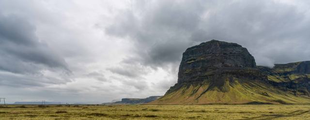
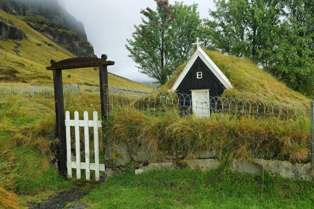
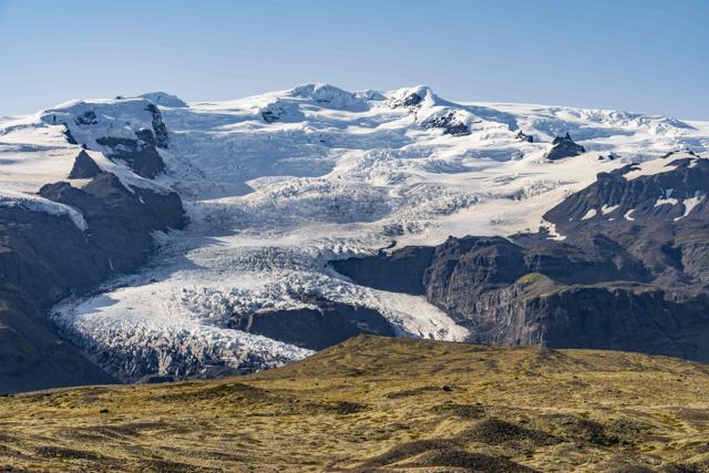
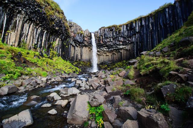
SkaftafellSkaftafellTrails, waterfalls and a visitor centreSvartifossSvartifossThe waterfall framed by basalt columnsLómagnúpurLómagnúpurThe great cliff beside the Ring Road, west of SkeiðarársandurNúpsstaðurNúpsstaðurOld turf church below LómagnúpurVatnajökull glacierVatnajökull glacierEurope’s largest ice cap by volumeKirkjubæjarklausturKirkjubæjarklausturThe nearest village with services

Where to stay near Grænalón

Skaftafell has a campsite and there are hotels and guesthouses in the area, and in Kirkjubæjarklaustur. Book ahead in summer.

Grænalón FAQ

What is Grænalón?

A glacial lake beside the north-western edge of Skeiðarárjökull, part of Vatnajökull. It was once large but has almost completely drained.

Can you still see a lake there?

Only a small pond remains. The old lakebed is mostly sediment and meltwater channels.

Why is the water brown?

It holds a lot of fine glacial silt, so it looks murky brown rather than the blue of some other glacial lagoons.

Can I drive there?

There are no public roads. It is reached on foot, by modified 4x4 or by helicopter.

Is it a good choice for a first-time visitor?

Not really. It is remote and demanding. Jökulsárlón and Fjallsárlón are far easier glacier lagoons to visit.
More places in Southeast Iceland