Iceland Travel Guide logo Iceland Travel GuideLOCAL TRAVEL AGENCY IN ICELAND My trip Talk to a local
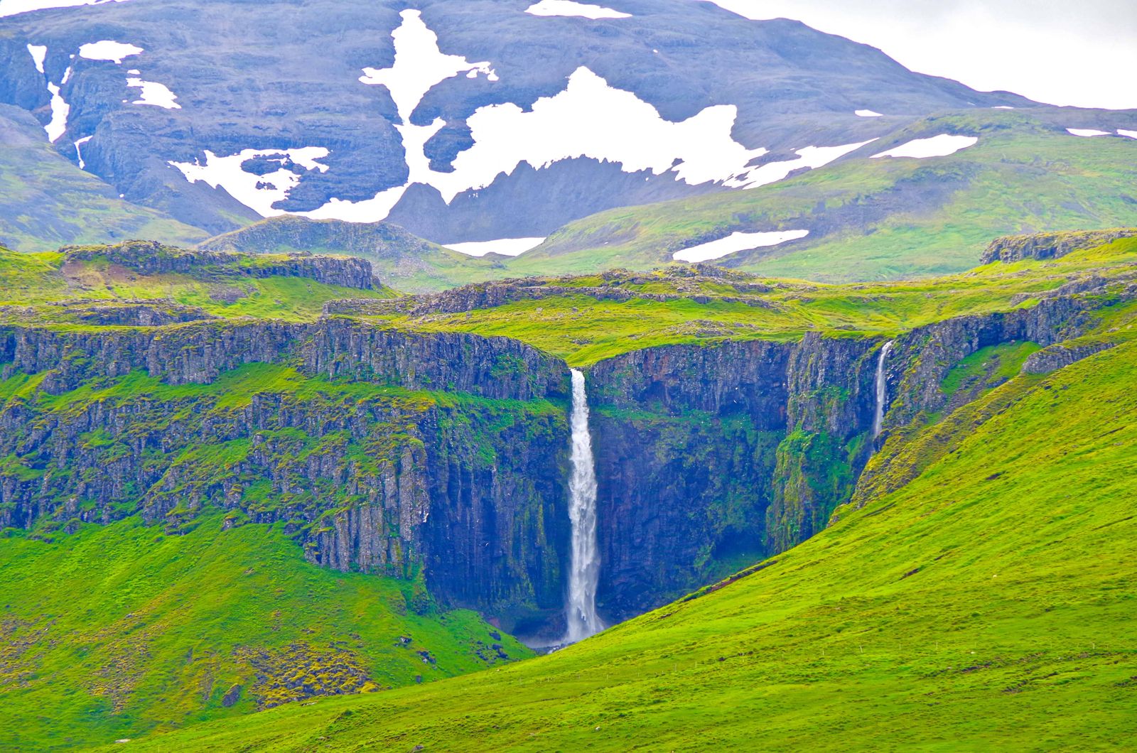
Grundarfoss waterfall

SnæfellsnesWaterfallFree entryShort hike
GRUNDARFOSS IN SHORT

Grundarfoss is a waterfall of about 70 metres on the Grundará river, just east of Grundarfjörður on the Snæfellsnes peninsula. It is around 175 km from Reykjavík, free to visit, and reached by an easy hike of about 40–50 minutes return from a parking area beside Route 54.

ON THIS PAGE
Quick factsHistoryGetting thereKvernárfossBest time to visitSafety tipsFacilitiesMapNearbyWhere to stayFAQ

About Grundarfoss

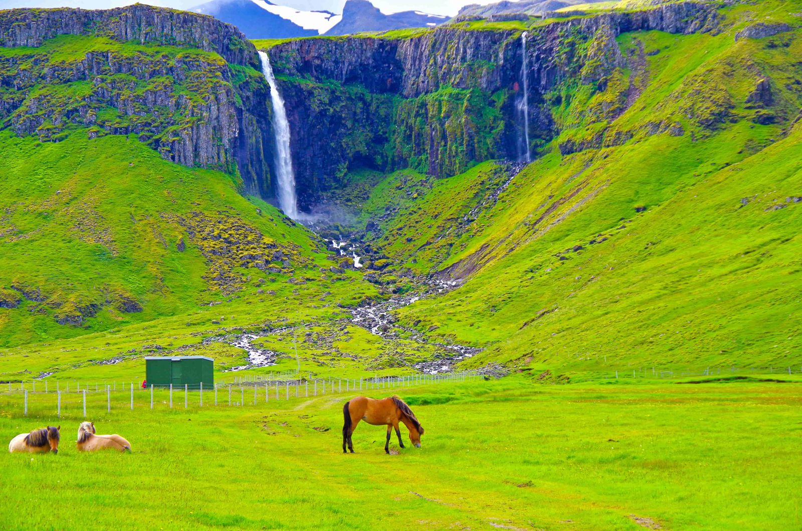
Grundarfoss drops about 70 metres over a rock face at the head of a small valley. It is one of the taller waterfalls on Snæfellsnes and is visible from Route 54 as you drive towards Grundarfjörður, but it is much better up close.

The hike follows the Grundará upstream. The first part is flat gravel, then the ground becomes rockier near the falls. You cross the river on stones and the spray at the bottom is heavy, so the area is wet and slippery. Because it is close to Kirkjufell, many visitors combine the two.

From the usual parking spot it is an easy walk of about 15 minutes to the falls, through green fields with the mountains ahead of you. Grundarfoss is still one of the less visited waterfalls on Snæfellsnes, so you will often have it to yourself.

Quick facts

HeightAbout 70 m
RiverGrundará
RegionSnæfellsnes, West Iceland
From ReykjavíkAbout 175 km by car
RouteRoute 54, just east of Grundarfjörður. Pass Kverná farm and turn at the Grundarfoss sign
HikeAbout 15 minutes each way from the water supply gate; about 3.4 km return (40–50 minutes) if you walk from Route 54
EntryFree
ParkingFree parking area beside Route 54
Opening hoursOpen all day
Time neededAbout 1 hour

What the name means

Grund means field or plain in Icelandic. Seen from a distance, the waterfall seems to stand at the back of a wide, flat field with the mountains rising behind it. The falls drop into the Grundará river, and waterfall, river and farm all share the name.

The river starts in the mountains above and is fed by meltwater, so the flow is strongest in spring and after rain.

How to get to Grundarfoss

By carFrom Reykjavík the usual way is Route 1 to Borgarnes, Route 54 along the south side of Snæfellsnes, then Route 56 across the peninsula and Route 54 west towards Grundarfjörður. Coming from the village or from Kirkjufell, drive east through Grundarfjörður on Route 54, pass Kverná farm and turn right at the Grundarfoss sign. Go through the entry gate and close it behind you.
On a guided tourSome Snæfellsnes day tours pass Grundarfjörður and Kirkjufell, but a stop at Grundarfoss is not common. A private tour can include it.
By public transportThere is no regular bus that stops at the trail. A car is the practical option.
Hiking thereFrom the gate, a short dirt track leads to the fenced water supply area for the village. Locals drive this stretch and park beside the closed gate of the water supply area, which leaves about 15 minutes on foot. If the first gate is locked or signs ask you not to drive in, park beside Route 54 and walk the track, about 3.4 km return. At the water supply area, take the trail on the left of the fence. It leads straight up along the Grundará to the falls, with a crossing on stones. Some of the land is private, so keep to the path.

Never block the gates or the track to the water supply area, and always close the gate after you.

Kvernárfoss, the waterfall next door

If you have more time in the area, there is a second waterfall close by, and the two together make an easy half day from Grundarfjörður.

Kvernárfoss is on the Kverná river and falls into the Kvernárgljúfur gorge, above the Kverná farm. The farm itself is closed to visitor traffic, so do not drive or walk through the farmyard.

Look for the side road marked Tengivirki (a power substation) on the other side of the river. You can drive up it and get a long, clear view of the waterfall from the top of the gorge.

Best time to visit Grundarfoss

Spring and early summerSnowmelt gives the falls the most water. The ground is wetter and rivers are higher, so take waterproof boots.
Summer (June–August)Easiest conditions and long daylight, so you can take your time at the falls. On a bright, clear evening the waterfall catches the low orange light and you can see it from Route 54. The flow can be lower in late summer.
AutumnGood light and fewer visitors. Paths can be muddy.
WinterIce and snow make the river crossing and rocky ground risky. Only go with proper winter gear and in good conditions.

Safety and practical tips

  • Go on a bright, clear day. Low cloud hides the top of the falls.
  • Wear waterproof hiking shoes. There is a river crossing and the ground is wet.
  • Close the gate behind you and stay on the path across private land.
  • Do not climb near the base. The rocks are slippery from spray.
  • Take a waterproof jacket. Spray at the falls is heavy.
  • Check the weather on vedur.is before setting out. Snæfellsnes weather changes fast.
  • Take all rubbish with you. There are no bins on the trail.

Facilities and accessibility

There are no facilities at the trailhead. Grundarfjörður, a few minutes away, has shops, cafés, a fuel station and toilets.

On the map

Open in Google Maps →

Nearby places worth a stop

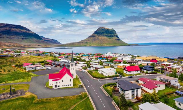
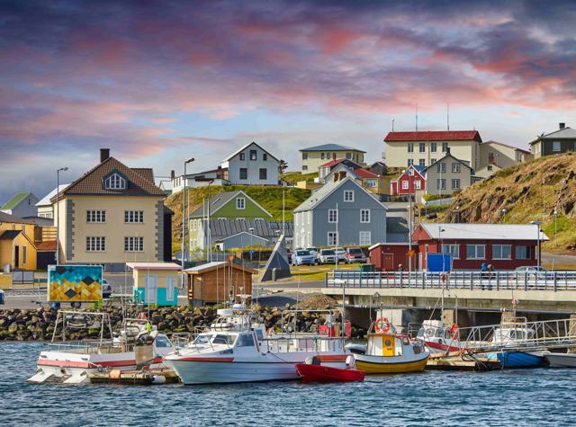
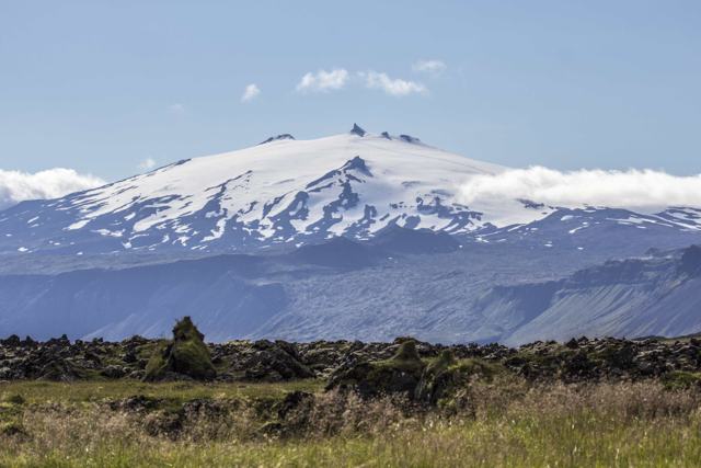
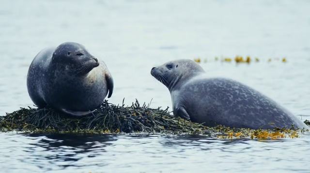
KirkjufellKirkjufellIconic mountain just west of GrundarfjörðurGrundarfjörðurGrundarfjörðurSmall fishing town with cafés and servicesStykkishólmurStykkishólmurHarbour town to the eastSnæfellsjökull National ParkSnæfellsjökull National ParkGlacier and coast at the western end of the peninsulaYtri TungaYtri TungaBeach known for seals

Where to stay near Grundarfoss

Grundarfjörður has guesthouses, hotels and a campsite close to the falls. Stykkishólmur and Ólafsvík are the other options on the north side of Snæfellsnes.

Grundarfoss FAQ

How tall is Grundarfoss?

About 70 metres.

How long is the hike?

Around 3.4 km return, which takes 40–50 minutes at a normal pace.

Is it free?

Yes, there is no fee and the parking area is free.

Is the hike difficult?

It is easy at first, then rockier near the falls, with a river crossing on stones. Good shoes are needed.

Where is it in relation to Kirkjufell?

Just east of Grundarfjörður, a few minutes' drive from the Kirkjufell parking area.

Can you see Grundarfoss from the road?

Yes. On a clear day you can see it from Route 54 east of Grundarfjörður, but the short hike takes you right up to it.

Is there another waterfall near Grundarfoss?

Yes, Kvernárfoss in the Kvernárgljúfur gorge above Kverná farm. View it from the side road marked Tengivirki, not through the farm.
More places in SnæfellsnesWaterfalls in Iceland