Iceland Travel GuideLOCAL TRAVEL AGENCY IN ICELAND
My trip
Talk to a local
Iceland Travel GuideLOCAL TRAVEL AGENCY IN ICELAND
My trip
Talk to a local
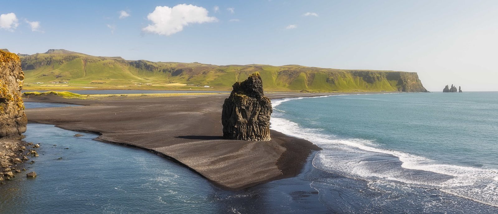
Kirkjufjara is a black sand beach at the foot of Dyrhólaey on the South Coast, across the lagoon outlet from the better-known Reynisfjara and about 18 km from Vík. It has a history of dangerous sneaker waves and rockfall, and the path down to the sand has been closed for long periods. It is free, but check the signs and view it from above if the beach is closed.
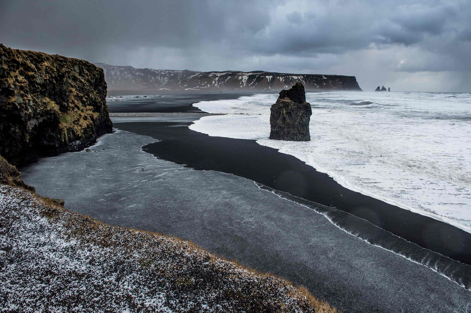
Kirkjufjara lies below the lower part of Dyrhólaey, on the west side of the outlet from the Dyrhólaós lagoon. Reynisfjara is the long beach on the other side of that outlet, so the two face the same ocean but are reached by different roads. On the sand stands Arnardrangur, a tall basalt stack that does not move however hard the storms hit it. The name means Eagle Rock, after the eagles that once nested on it.
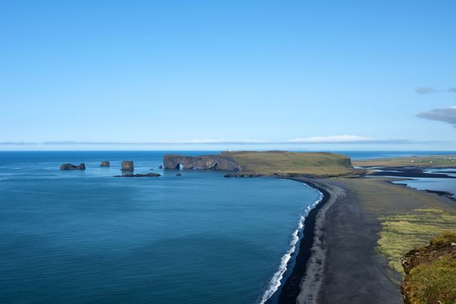
From the edge above the beach you look east along Reynisfjara to the Reynisdrangar sea stacks, and west to the Dyrhólaey arch. On a clear day the Westman Islands show on the horizon to the west, and inland the white ice of the glacier sits behind the black coast. Low cloud and sea fog are just as common, and they suit the place.
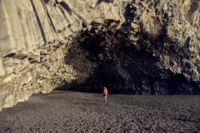
The Atlantic here is unusually dangerous. Sneaker waves can surge much further up the beach than expected, without warning, and the cliffs above have a history of landslides and falling rock. Because of this, access to Kirkjufjara has been closed or restricted at various times over the years, particularly after a large rockfall in 2015 and fatal accidents on this coast. Always check the official safety status before heading down onto the sand, and treat any closure or warning signs as final.
Access has changed several times because of safety concerns. Check SafeTravel.is and the signs at the car park before planning to walk onto the sand, and never cross barriers or ignore warnings. Dyrhólaey is a nature reserve, and access is also limited at times during the bird nesting season in May and June.
Choose a calm day with little wind and no storm warning. The beach sits under a high cliff with the open Atlantic in front of it, and it can turn from calm to dangerous in minutes. A set of much bigger waves arrives every few minutes, and these are the ones that catch people out.
If the tide is high or the wind is strong, do not go down at all. Even when the beach is open, do not walk along the waterline and do not step into the sea. You lose nothing by staying up at the viewpoint: the photographs of the black sand, the rock stack and the surf are just as good from there.
Go with someone else if you can, dress for wind and rain, and wear shoes with a good grip. The rocks and the path are slippery when wet.
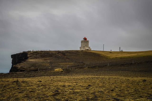
There is a car park with toilets at lower Dyrhólaey. There is no café or shop; the nearest are at Reynisfjara and in Vík.
Vík is the nearest town for hotels and guesthouses, and a convenient base for this stretch of the South Coast.
Not on the sand. The beach has a history of dangerous sneaker waves and rockfall, and access has been closed for long periods. The viewpoint above it is the safe way to see it. Always check current conditions first.
No. Swimming is never safe on this coastline because of strong currents and unpredictable waves.
They are separate beaches on the same coast. Reynisfjara lies below Reynisfjall, east of the Dyrhólaós lagoon outlet, and is reached by Route 215. Kirkjufjara is on the west side, at the foot of Dyrhólaey, and is reached by Route 218. Kirkjufjara is smaller, quieter and has no services.
About 18 km, around 20 minutes by car.
Turn off Ring Road 1 onto Route 218 towards Dyrhólaey and drive to the lower car park. The beach is directly below it.
Arnardrangur, or Eagle Rock, a basalt stack named after the eagles that used to nest on it.