Iceland Travel GuideLOCAL TRAVEL AGENCY IN ICELAND
My trip
Talk to a local
Iceland Travel GuideLOCAL TRAVEL AGENCY IN ICELAND
My trip
Talk to a local
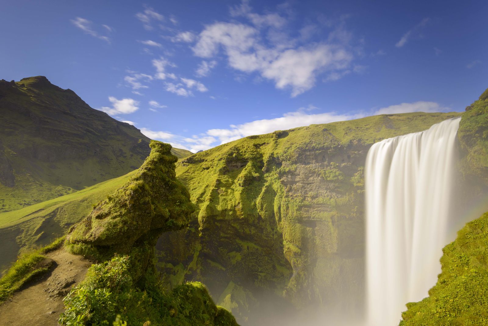
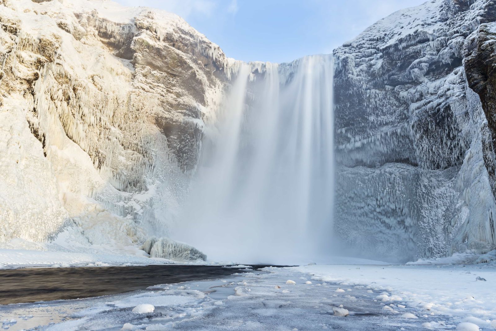
Skógafoss is a 60-metre waterfall on the Skógá river in South Iceland, right beside the village of Skógar, about 150 km (around 2 hours) from Reykjavík. Parking costs around ISK 1,000, and a 527-step staircase leads to a viewpoint at the top. Most people spend 45–60 minutes here.
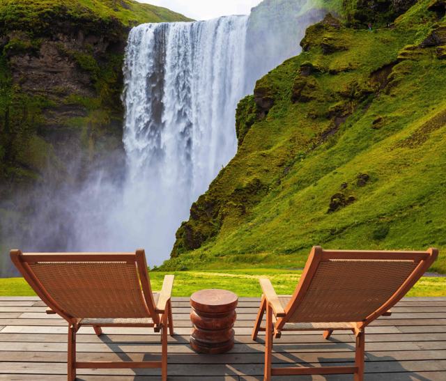
Skógafoss is one of Iceland's biggest waterfalls by volume, dropping in a single, broad curtain about 60 metres high and 25 metres wide. On sunny days the spray usually throws a rainbow, sometimes a double one, across the pool at its base, which is part of what makes it one of the most photographed falls on the South Coast.
A staircase of 527 steps climbs the hillside beside the falls to a viewing platform at the top, looking back down the river and out over the flat coastal plain. From there, a longer trail continues up the Skógá river gorge towards Fimmvörðuháls, the pass between the glaciers Eyjafjallajökull and Mýrdalsjökull, eventually linking up with the Laugavegur trail towards Þórsmörk and Landmannalaugar.
The name means "forest waterfall", after Skógar ("forests"), the settlement at its foot. The Skógá river is fed by meltwater from the high ground between Eyjafjallajökull and Mýrdalsjökull, and it drops over cliffs that were once Iceland's coastline. The sea has since retreated and now lies about 5 km to the south, but the old sea cliffs still run for kilometres along this part of the South Coast.
The ground in front of the falls is flat gravel, so you can walk right up to the wall of water. Expect to get wet: the spray is heavy and the noise is loud enough that you have to raise your voice. Skógafoss has also appeared in several films and television series, which is one reason it is so widely recognised.
Local legend says a Viking settler named Þrasi Þórólfsson hid a chest of gold in a cave behind Skógafoss. Many people are said to have looked for it. The story goes that a local boy once found the chest and tied a rope to the ring on its side, but the ring broke off before he could pull the chest free, and that was all he came away with. The ring was given to the church at Skógar and is now kept in the Skógar Museum, where you can still see it.
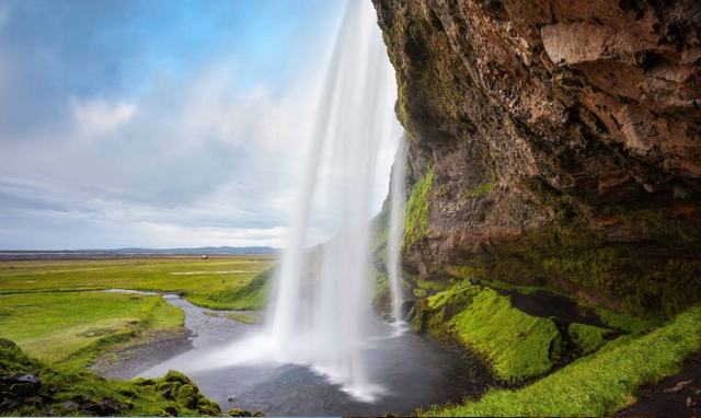
Like Seljalandsfoss further west, Skógafoss once sat on the edge of the sea, before glacial outwash and river sediment built up the flat farmland now stretching south of it. Skógar village at its foot grew around the falls and now houses a folk museum covering rural life on this stretch of coast.
The trail beyond the top of the falls continues towards Fimmvörðuháls and Þórsmörk, but this is a full highland hiking route, not a short add-on, and needs proper planning, gear and good weather.
A staircase beside the falls leads to a platform level with the top.
The steps can be icy and closed in winter storms. Check conditions before climbing.
Most of a visit happens in three places: at the base, at the top, and for those with more time, on the river above.
The same path is the start, or the end, of the Fimmvörðuháls trail, one of Iceland's best-known summer hikes. It runs about 25 km from Skógar over the pass between Eyjafjallajökull and Mýrdalsjökull and down into Þórsmörk. That is a long, exposed mountain day and only for the summer season.
Stay behind the ropes at the top and on the gorge path. The edges are undercut and the grass is slippery when wet.
There are toilets and a snack kiosk near the car park, and a folk museum, café and small hotel in Skógar village at the base of the falls.
Skógar itself has a small hotel, and Hvolsvöllur and Vík both have wider choices of accommodation within a short drive.
About 60 metres high and 25 metres wide.
No entry fee for the waterfall itself, but the car park charges around ISK 1,000 per vehicle.
Yes, via a staircase of 527 steps beside the falls, leading to a viewing platform level with the top.
About 150 km, or around 2 hours by car.
Yes, the trail above it leads towards Fimmvörðuháls and eventually Þórsmörk, but this is a serious highland route requiring proper preparation, not a casual extension of the waterfall visit.
It means "forest waterfall". Skógar, the name of the settlement beside it, means "forests".
Yes. The ground at the base is flat and you can walk to within a few metres of the falls, but you will get wet from the spray.
Less than a kilometre. The turn-off from Route 1 is signposted Skógar and Skógafoss, and the road to the car park is paved.
Tours and trips that include Skógafoss, booked directly with a local travel agency in Iceland.
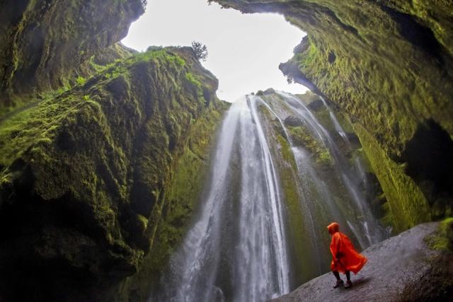 PRIVATEPrivate South Coast TourFrom 140,000 ISK per group
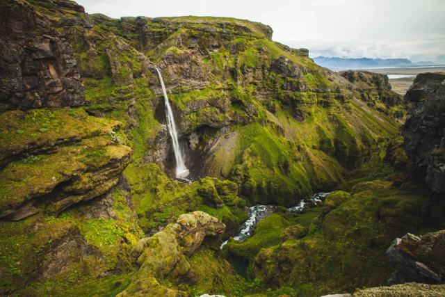 PRIVATEMúlagljúfur Canyon Private TourFrom 220,000 ISK per group
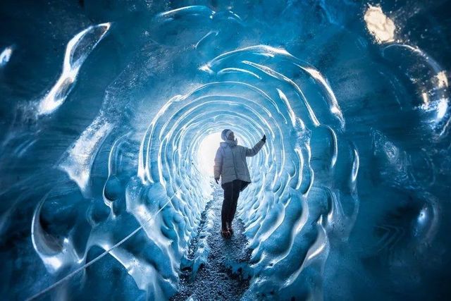 PRIVATEPrivate South Coast & Katla Ice Cave TourFrom 160,000 ISK per group
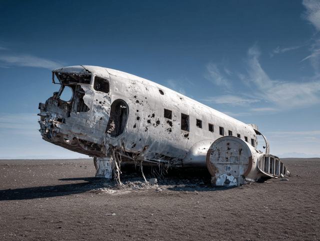 PRIVATESouth Coast & Solheimasandur Plane Wreck Private TourFrom 144,000 ISK per group
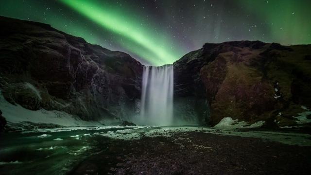 MULTI-DAY2 Day South Coast Private TourFrom 659,980 ISK per group
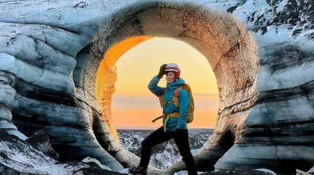 DAY TOURKatla Ice Cave & South Coast Tour from ReykjavikFrom 36,199 ISK per person