- Starting Point: Skógafoss Waterfall, South Iceland
- Ending Point: Þórsmörk Valley
- Distance: 25 kilometers (15.5 miles)
- Elevation Gain: 1,000 meters (3,280 feet)
- Duration: 8-12 hours (one day)
- Difficulty: Moderate to challenging
- Best Time to Hike: June to early September
The Fimmvörðuháls hike is one of Iceland’s most famous and spectacular hiking trails, offering adventurers the chance to walk between glaciers, cross volcanic landscapes, and witness some of the country’s most breathtaking natural beauty. The hike stretches over 25 kilometers (15.5 miles), beginning at the iconic Skógafoss waterfall in South Iceland and ending in the verdant Þórsmörk valley. Along the way, hikers pass over volcanic craters, traverse snowy mountain ridges, and marvel at dozens of waterfalls, glaciers, and other geological wonders.
This hike offers a challenging yet rewarding journey through some of Iceland’s most striking terrain. It’s a must-do for experienced hikers and outdoor enthusiasts looking to experience Iceland’s wild, untamed landscapes up close. Whether you’re hiking it as a standalone trek or as part of the Laugavegur Trail, the Fimmvörðuháls hike is guaranteed to leave you with unforgettable memories.
Where is the Fimmvörðuháls Trail?
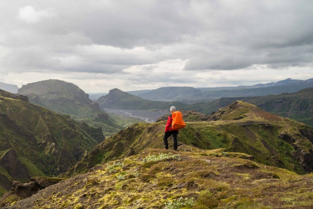
The Fimmvörðuháls trail connects two of Iceland’s most iconic natural landmarks: Skógafoss Waterfall and the Þórsmörk Valley. The trail starts at Skógar, at the foot of Skógafoss, and ascends through a series of waterfalls, eventually reaching the volcanic plateau between the Eyjafjallajökull and Mýrdalsjökull glaciers. From there, the trail descends into Þórsmörk, a lush valley surrounded by towering mountains and glaciers.
- Distance from Reykjavik to Skógar (start): 155 km (96 miles)
- Driving time: Approximately 2 hours
- Distance from Þórsmörk (end) to Reykjavik: 150 km (93 miles)
- Driving time: Approximately 2.5-3 hours
What to Expect on the Fimmvörðuháls Hike
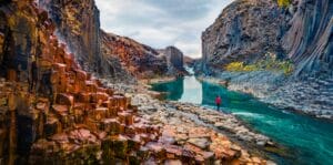
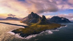
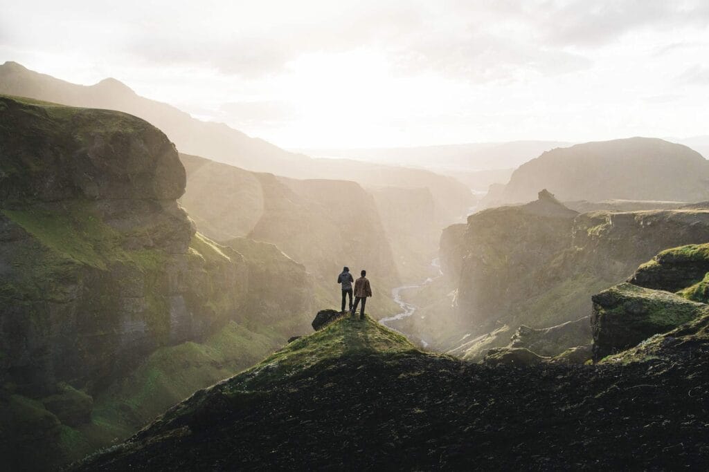
The Fimmvörðuháls hike is known for its dramatic changes in scenery, as it transitions from lush green valleys to a stark volcanic plateau and glacier-topped mountains. The trail offers a perfect blend of Iceland’s unique natural wonders, including waterfalls, glaciers, and volcanic craters formed by the 2010 Eyjafjallajökull eruption. The trail can be divided into three distinct sections: the Skógafoss area, the highlands plateau, and the descent into Þórsmörk.
The trail is well-marked and mostly follows a defined path, but it requires good physical fitness due to the elevation gain and changing weather conditions. The hike starts with a gradual incline along the waterfall section, becomes more challenging as you climb to the volcanic plateau, and finishes with a steep descent into Þórsmörk. Hikers should be prepared for Iceland’s unpredictable weather, which can include rain, wind, and even snow at higher altitudes, even during summer.
1. Skógafoss and the Waterfall Section
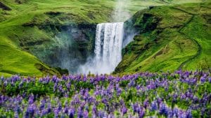
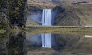
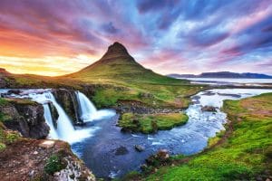
The hike begins at Skógafoss, one of Iceland’s most iconic waterfalls. Standing 60 meters (197 feet) tall, Skógafoss is a spectacular sight and a great way to start the hike. As you ascend the steep staircase alongside the waterfall, you’ll be treated to incredible views of the cascade and the surrounding valley.
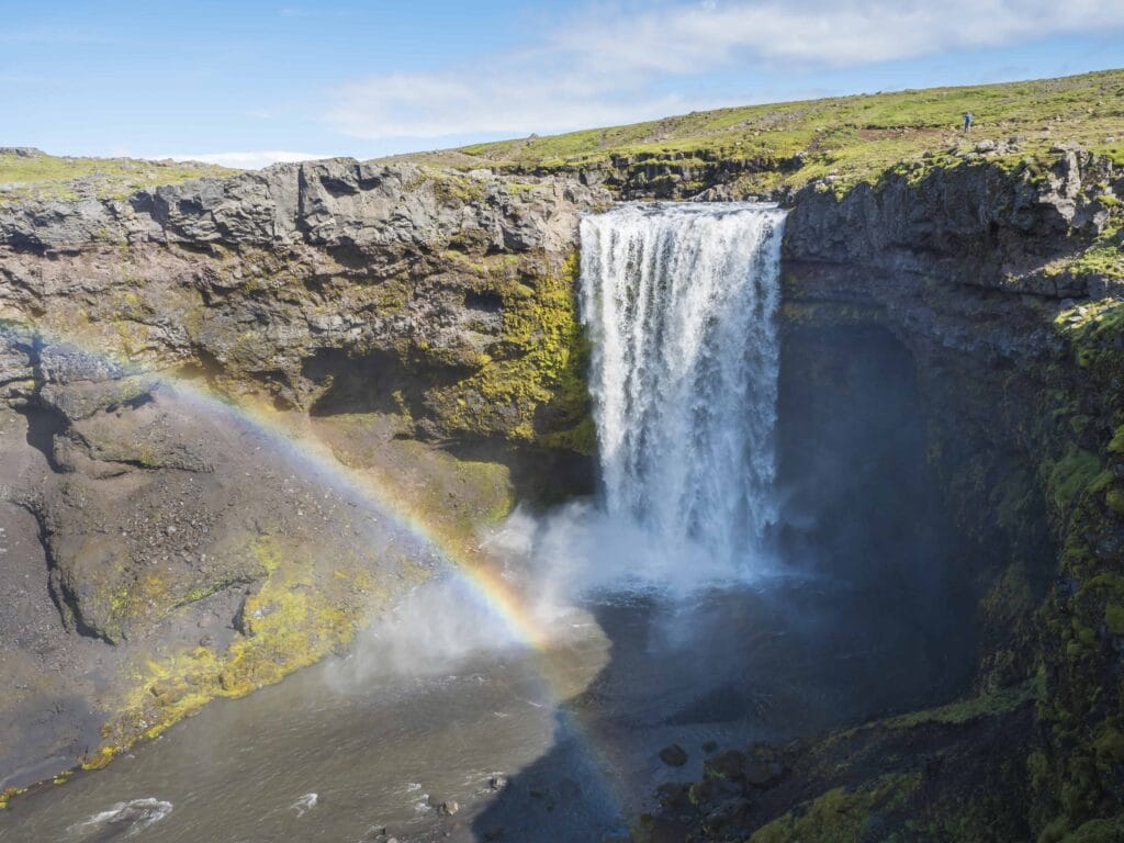
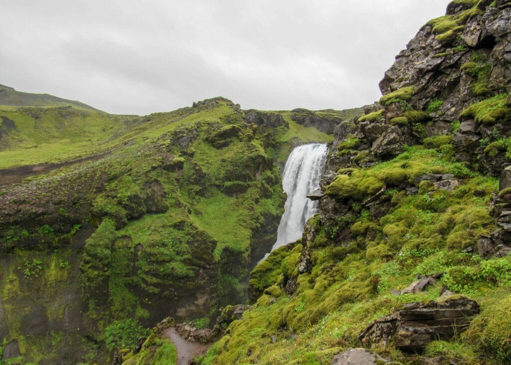
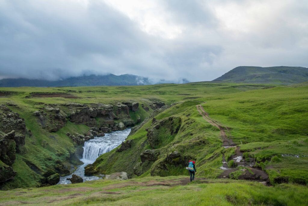
Once you’ve climbed above Skógafoss, the trail follows the Skógá River, leading you past 23 more waterfalls of varying sizes and shapes. This part of the hike is particularly lush and scenic, with the constant sound of rushing water as you make your way uphill. The trail here is well-marked and relatively easy, offering plenty of opportunities to stop, rest, and admire the views.
- Highlights: Skógafoss, a series of cascading waterfalls along the Skógá River, and views of the surrounding countryside.
2. The Highland Plateau and the Volcanic Craters
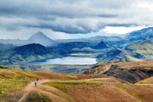
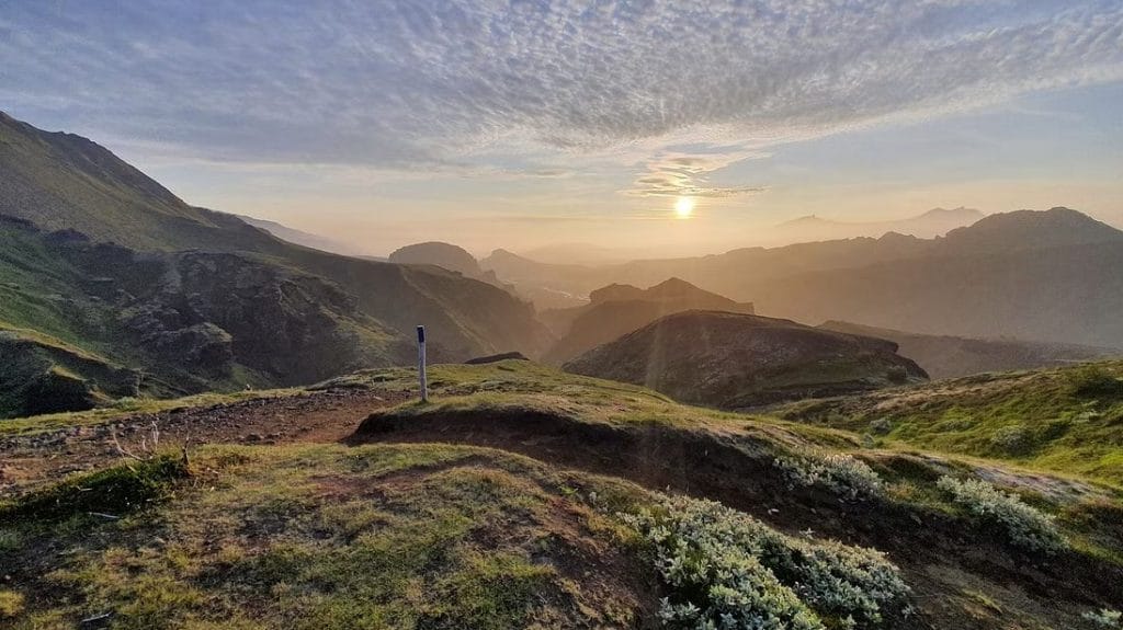
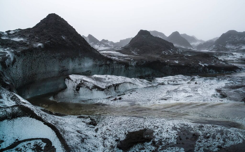
After several hours of hiking alongside the river, the landscape begins to change as you reach the Fimmvörðuháls pass, the highland plateau located between the Eyjafjallajökull and Mýrdalsjökull glaciers. This is where the hike becomes more challenging and remote. The lush greenery gives way to a stark volcanic landscape, characterized by rocky ridges, snow patches, and views of distant glaciers.
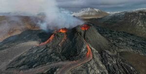
One of the highlights of this section is the Magni and Móði craters, named after the sons of the Norse god Thor. These craters were formed during the 2010 eruption of Eyjafjallajökull, and hiking across the still-warm lava fields is a humbling reminder of Iceland’s volcanic activity. The trail through the volcanic terrain offers a dramatic contrast to the earlier sections of the hike, with vast expanses of black lava and ash stretching out as far as the eye can see.
- Highlights: The stark beauty of the volcanic plateau, views of Eyjafjallajökull and Mýrdalsjökull glaciers, and the Magni and Móði volcanic craters.
3. The Descent into Þórsmörk
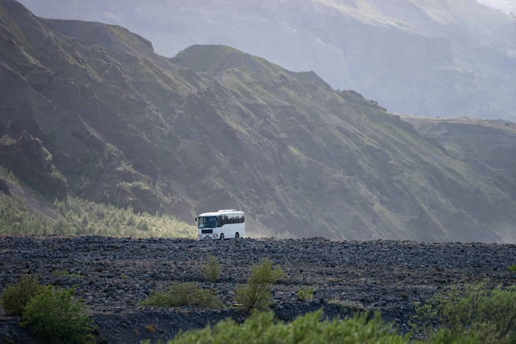
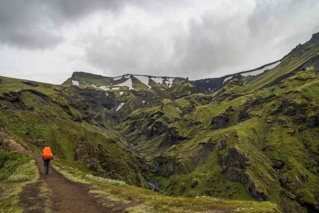
After crossing the highland plateau, the trail begins its descent into the lush Þórsmörk valley, one of the most beautiful and verdant areas in Iceland. The descent is steep in places, but the views of the valley below are breathtaking. As you make your way down, the landscape gradually transitions back into greenery, with moss-covered hills, glacial rivers, and dense birch forests. Þórsmörk is surrounded by towering mountains and glaciers, creating a dramatic and isolated setting that feels like a hidden paradise.
Upon reaching Þórsmörk, hikers are greeted with a well-earned reward: a stunning valley filled with flora, glacial rivers, and some of the best views Iceland has to offer. Many hikers choose to spend the night in one of the Þórsmörk huts or camp in the valley to fully take in the beauty of the area.
- Highlights: Descending into Þórsmörk’s lush landscape, views of glacial rivers and mountains, and the peaceful atmosphere of the valley.
How Difficult is the Fimmvörðuháls Hike?
The Fimmvörðuháls hike is considered moderate to challenging, depending on the weather and trail conditions. The elevation gain is significant, as the trail climbs to an altitude of around 1,000 meters (3,280 feet) before descending into Þórsmörk. Hikers should be prepared for steep sections, uneven terrain, and potentially challenging weather conditions, especially in the highland plateau.
Factors to Consider:
- Distance: The full hike is approximately 25 kilometers (15.5 miles), which takes around 8-12 hours to complete in one day, depending on your pace and the weather.
- Weather: Weather conditions in Iceland can change rapidly, especially at higher elevations. Hikers should be prepared for strong winds, rain, and even snow, even during the summer months. It’s important to check the weather forecast before starting the hike and to bring appropriate clothing and gear.
- Fitness Level: The hike requires a good level of fitness due to the elevation gain, long distance, and the need to carry supplies. Hikers should be comfortable with long-distance hikes and be prepared for a full day of walking.
What to Pack for the Fimmvörðuháls Hike
Packing the right gear is essential for a successful and safe Fimmvörðuháls hike. Here’s a list of what you should bring:
1. Clothing
- Waterproof Jacket and Pants: The weather in Iceland can be unpredictable, so it’s important to stay dry.
- Base Layers: Moisture-wicking materials like merino wool will keep you warm and dry.
- Mid Layer: A fleece or down jacket for warmth.
- Hiking Pants: Quick-drying pants that allow for freedom of movement.
- Hat and Gloves: It can be cold and windy at higher elevations, even in summer.
- Hiking Boots: Sturdy, waterproof boots with good ankle support are essential.
2. Backpack
- Daypack (30L): A comfortable backpack with enough space for food, water, extra clothing, and gear.
- Backpack Rain Cover: To protect your gear from rain.
3. Food and Water
- Water Bottle or Hydration System: There are natural water sources along the trail, but bring enough water for the hike.
- Snacks: High-energy snacks like nuts, energy bars, and fruit are important for keeping your energy up.
- Packed Lunch: If you’re hiking the full trail in one day, bring a hearty lunch.
4. Navigation and Safety Gear
- Map and Compass or GPS: The trail is well-marked, but in poor visibility, navigation tools are essential.
- First Aid Kit: Carry a small kit with essentials like bandages, blister treatment, and pain relievers.
- Emergency Whistle: A useful safety tool in case of an emergency.
- Headlamp: If you’re hiking during the shoulder seasons or starting early, a headlamp may be necessary.
- Trekking Poles (Optional): Useful for stability, especially on the descent into Þórsmörk.

Guided Tours vs. Self-Guided Hike
Hikers have the option of completing the Fimmvörðuháls hike either independently or with a guide. Both options have their benefits:
- Self-Guided: Experienced hikers with good navigation skills and proper preparation can complete the hike independently. The trail is well-marked, and during the summer months, many other hikers will be on the trail, making it easier to find your way.
- Guided Tours: For those who prefer additional safety and local knowledge, guided tours are available. A guide can provide insight into the geological features, history, and help ensure your safety in case of rapidly changing weather.
When to Hike Fimmvörðuháls
The best time to hike the Fimmvörðuháls trail is during the summer months, from June to early September, when the trail is most accessible, and the weather is generally more stable. During this time, the trail is snow-free, and the huts in Þórsmörk are open for accommodation.
- Winter Hiking: The trail is extremely challenging and dangerous in winter due to snow, ice, and poor visibility, and is not recommended.
Accommodation Options for the Fimmvörðuháls Hike
While many hikers complete the Fimmvörðuháls hike in one day, others may prefer to break it up into two days, especially if they want to take their time or explore the surrounding area. There are several accommodation options available at both ends of the trail as well as along the route, including mountain huts, campsites, and hotels in nearby villages. Here’s an overview of your options:
1. Huts and Campsites Along the Fimmvörðuháls Trail
Baldvinsskáli Hut
- Location: Approximately halfway along the Fimmvörðuháls trail, near the volcanic plateau between the Eyjafjallajökull and Mýrdalsjökull glaciers.
- Details: The Baldvinsskáli hut is a small and basic mountain hut that serves as a shelter for hikers needing a rest before continuing their journey. It’s primarily a weather refuge rather than an overnight stop, with limited space and no sleeping facilities. However, in extreme weather conditions, it can provide a safe haven for those on the trail.
- Facilities: Basic shelter, limited facilities.
- Booking: Not typically used for overnight stays but can be helpful in case of emergencies.
Fimmvörðuháls Hut
- Location: Near the top of the pass, at the highest point of the trail, close to the Magni and Móði craters.
- Details: This hut is a good option for those who wish to split the hike into two days. It’s a cozy and remote hut located in the volcanic highlands, offering stunning views of the surrounding glaciers and lava fields. Given its remote location, it’s a great place to experience Icelandic wilderness in its rawest form.
- Facilities: Bunk beds (sleeps up to 20 people), kitchen with basic cooking facilities, toilets.
- Booking: The hut must be booked in advance through Ferðafélag Íslands (The Icelandic Touring Association), as spaces fill up quickly during the hiking season.

Conclusion: Why the Fimmvörðuháls Hike is a Must-Do in Iceland
The Fimmvörðuháls hike is one of Iceland’s most spectacular trekking experiences, offering hikers the chance to walk between glaciers, explore volcanic craters, and witness some of the country’s most stunning natural landscapes. Whether you’re drawn to the challenge of crossing the volcanic highlands or simply want to soak in the beauty of the Þórsmörk valley, this hike offers an unforgettable adventure. With its mix of waterfalls, glaciers, and otherworldly volcanic terrain, Fimmvörðuháls is a must-do for any outdoor enthusiast visiting Iceland.
