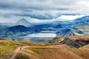




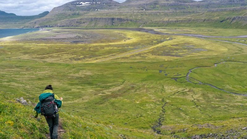
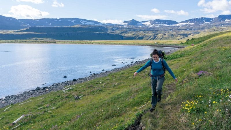
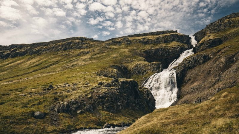
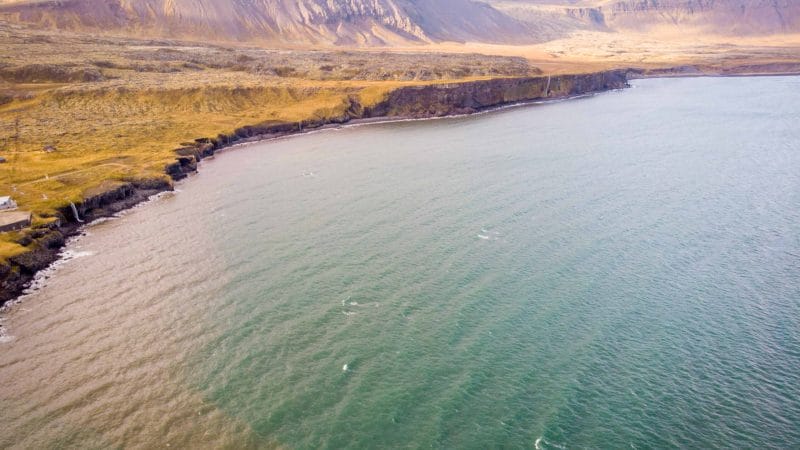
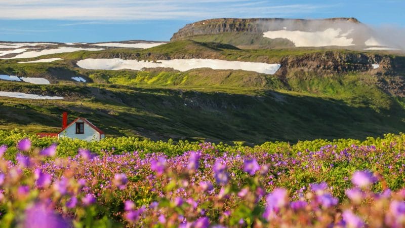
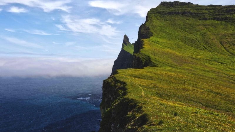
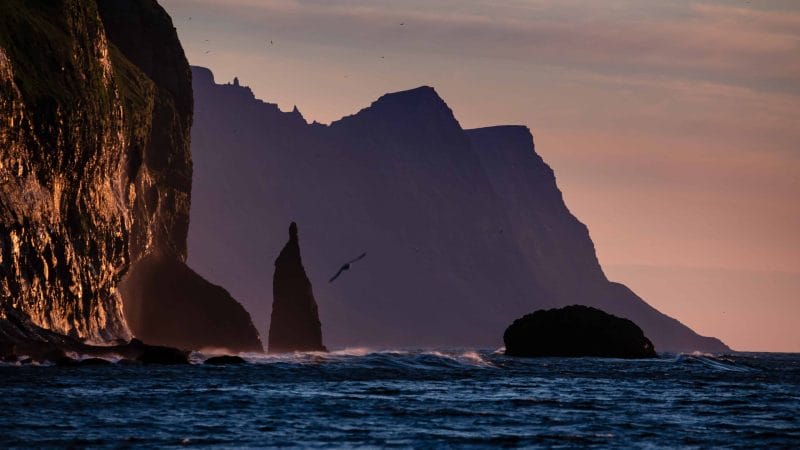
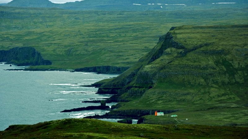
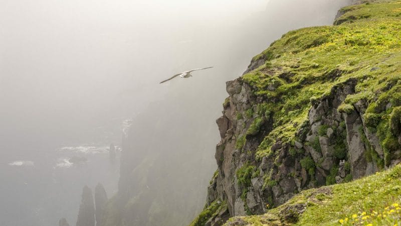
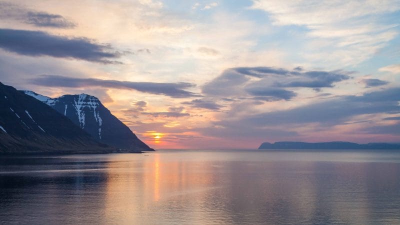

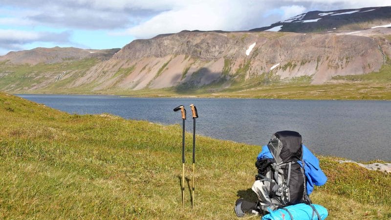
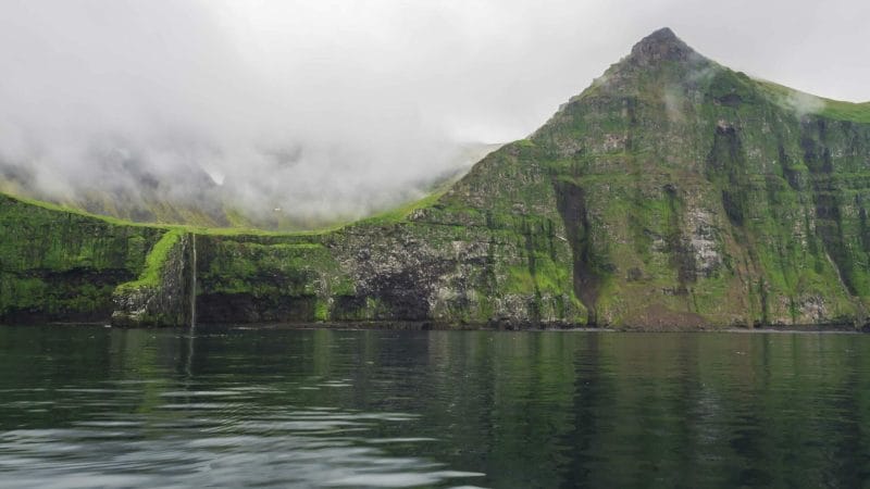
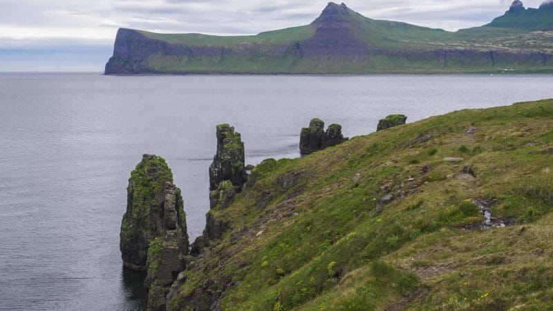
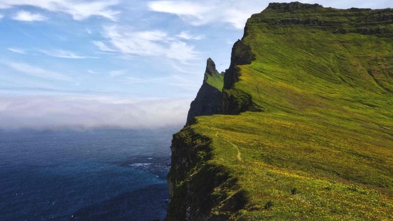


Hiking in the beautiful nature reserve at Hornstrandir is incredible. However, it can be a logistical challenge if hiking alone without a guide. This hidden gem of Iceland is an exceptional choice for adventurers and those who want to escape the hustle and bustle of a city. Nonetheless, travelers need to prepare themselves and their backpack with essentials before walking down the spectacular landscape. Here are how solo trekkers can hike in this rugged landscape and home of Arctic foxes.
About Hornstrandir
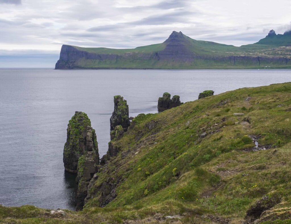
Iceland’s protected Hornstrandir Natural Reserve is a remote territory covering 220 square miles in the snow-capped mountains and rough coastline northwest of the West Fjords. The beautiful fjords of Hrafnfjörður and Furufjörður are part of the Hornstrandir Nature Reserve, which also contains the icecap of Drangajökull glacier. In terms of the status of other glaciers, Drangajökull is the only one that has not reduced in size during the past several years.
The unpredictable weather and difficult access have helped preserve this remote wilderness. The winter here is harsh, and you will usually not find anyone here from October to March. It is accessible only in summers via a ferry that takes you to this stunning nature reserve. Even the summer window is limited. Therefore, the best time to visit Hornstrandir is between June to July.
In earlier centuries until the 1950s, Hornstrandir featured some scattered settlements consisting of hardy souls. However, the consistent famine and inaccessibility took a toll over the years, becoming an abandoned wilderness. Today, the ruins of churchyards and graveyards testify to what it takes to travel in this remote place. Nonetheless, few families do travel and set up temporary houses in the summers. If lucky, you might see another soul in this deserted place.
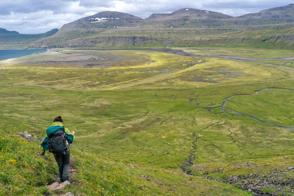
What makes it demanding is the reason why this place is so attractive to solo travelers. You will see nothing but miles of greenery, wildlife, and fjords. On lucky days, you may observe a den of Arctic foxes roaming around the wilderness.
If truth be told, hiking at Hornstrandir Natural Reserve is not suited for beginners or faint-hearted. The weather can range from a sunny sky with a warm temperature to a snowstorm lasting for hours. In addition, the fog near the mountains and coastline can be dense, with visibility of fewer than 10 meters. In short, weather predictions can go wrong, so be prepared to face anything on the land of fire and ice.

Wildlife in Hornstrandir
Hornstrandir’s natural reserve is home to Arctic foxes. Since the conservation efforts in 1975 and the ban on hunting, have helped the Hornstrandir to become a thriving place for this animal. Apart from foxes, it is also home to more than 200 species and 30 varieties of nesting birds, including Puffins, Arctic Terns, Black Guillemots.
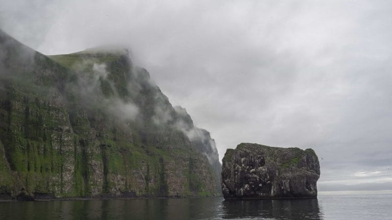
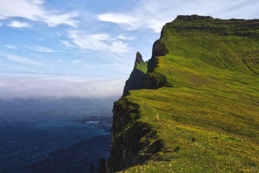
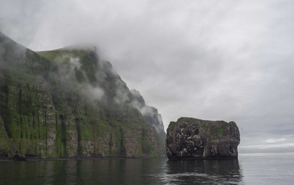
On this tour, you’ll see two of the most incredible bird cliffs in Iceland, called Hornbjarg and Hælavíkurbjarg, and they are home to the world’s largest populations of Guillemots. Other species worth mentioning are Kittiwake, Razorbill, and Fulmar.
Sometimes polar bears floating on the drifted iceberg from Greenland end up in Hornstrandir. But sighting is difficult.
Access and Best Time to Visit
Reach Ísafjörður
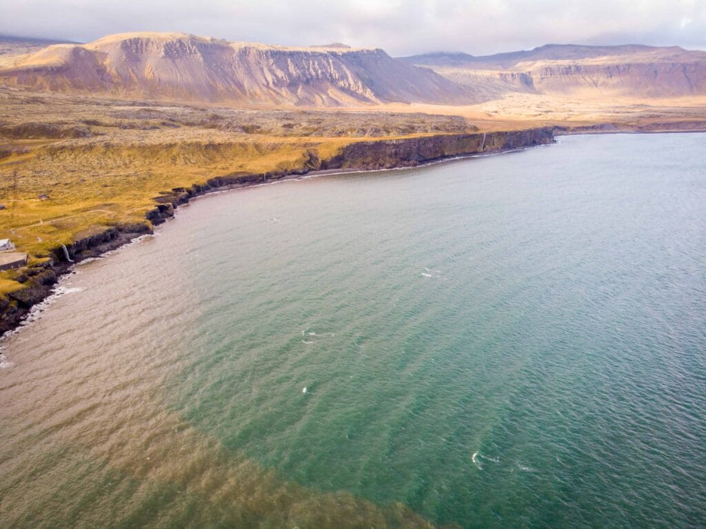
This nature reserve is located close to Ísafjörður in the Westfjords. If you’re traveling from Reykjavik, rent a car or catch a flight to Ísafjörður. The road in the West Fjords is, although beautiful, often narrow and sometimes unpaved. That means you should perhaps take a 4×4 truck or a vehicle that can sustain the challenges of uncharted territories. In 4×4, you will feel more comfortable and confident driving on unpaved roads. Another option is to take a domestic flight from Reykjavik to Ísafjörður, ideal for those with less time.
Reach Hornstrandir
The only transport available from Ísafjörður for Hornstrandir is by boat. Several companies are offering boat trips to and from Ísafjörður. Borea and Sjóferðir are good options. Do check the availability and timing before reaching Ísafjörður. The round trip costs somewhere around 150 to 300 Euros, varies companies to company.

Backpack and Essential Gear for Hornstrandir hiking
The unpredictable weather and remote location mean you should come prepared with essential camping gear and protein bars to sustain you throughout the journey. In addition, the cold weather and chances of heavy rainfall demand layered clothing, a waterproof jacket, a strong camping tent, and a pair of hiking boots.
What to bring?
Clothing and Shoes:
- Thermal underwear
- Two or three shirts
- Trekking pants (not cotton)
- Waterproof jacket
- Warmer
- Woolen hats
- High ankle hiking boots
Food and Water
(Depending on the number of days)
- A mixture of trail-baked foods
- Nuts and seeds
- Protein bars
- Dry fruits
- Dehydrated meals
- Pre- and post-workout snacks, chews, or gels
- Graham or graham crackers
- Whole-grain tortillas
- Chicken, fish, or pork jerky that has been dried to the desired level of shelf-stability
- Water bottle
Camping Accessories:
- GPS and compass
- Physical Map
- First Aid Kit
- Firestarter
- Rope and Tarps
- Flashlight
- Multipurpose knife (Swiss knife)
- Sleeping bag
- Camping tent
Help in an emergency - 112
As you’re in an isolated landscape with no human settlement, you should know what to do in an emergency. Phone networks may be down here. So in case of emergency, sending an text message to 112 is more feasible than calling. You can also download the 112 app to contact the nearest emergency service provider. Use the app to activate the emergency button to communicate your GPS coordinates to the police through text message. To increase your chances of survival, we also recommend you carry an emergency flashlight. It will help rescuers to locate you quickly.
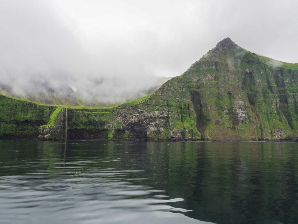
Now when you’re prepared for your adventure, consider how many days you can spend hiking because Hornstrandir offers many hiking trails from a single day to multiple days. The choice is yours. We will first discuss main hiking trails and then we will provide a detailed step-by-step guide for multiple-day hiking.
Note: Because there are no vehicles or highways in Hornstrandir, you’ll need to take the ferry to get to the trails. Hikers typically take a private boat with Borea from Bolungarvik (a fishing helmet). Alternatively, you can ride a boat from Ísafjörður. Ensure to reserve your spot for a roundtrip in advance.
Choose between single-day and multi-day hiking
Single Day Hiking: Adalvik to Hesteyri
Duration: 5-6 hours
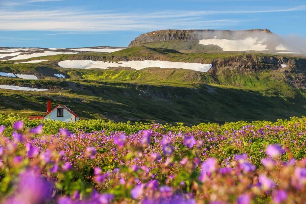
This short day excursion is one of Hornstrandir’s most popular treks. The boat starts from Hesteyri in the morning and arrives in Adalvik in the afternoon, allowing you to complete the round trip in one day. Past the withering church, across grassy hills, and towards the abandoned town of Adalvik, you’ll arrive at this spot. You will go past a big lake on this trail, and as you climb the steamy hills, you will get great views of the snow-capped fjord fingers and the fjord’s bays. Here you may see the remnants of an old stone pavement and cairns. Next, navigate down muddy hills to the black sand pebble beach, then on to the abandoned town of Hesteyri. In the summer, a family resides in the “Old Doctor’s House,” where they can prepare coffee and pancakes for you. Relax here for a warm respite from the wind and rain as you wait for the boat back to Isafjordur.
Multiple Day Hiking: Hesteyri to Kögur
Duration: 3-5 days
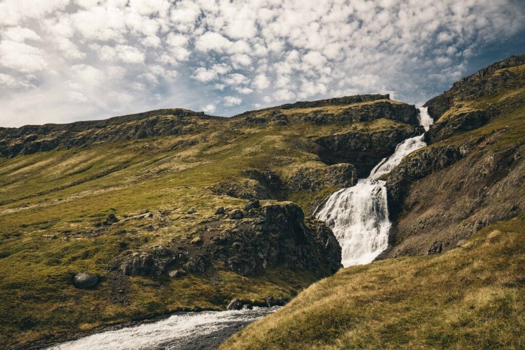
After arriving in Hesteyri via boat, trek ten miles (16 kilometers) to the Sæból campground. You may either camp here overnight or go 7 miles (11 kilometers) farther down the shore to Látrar. The next day, climb 9 miles (15 kilometers) to Fljótavík and on to the stunning Kögur Mountain, which bends in on itself like a breaking wave. The route then makes a 16-mile (26-kilometer) circle back to Hesteyri through the campground at Álfsfell.
4 Days Hiking: Ísafjörður – Hesteyri – Hlöðuvík – Hornbjarg – Hornvík – Ísafjörður
Please mind that this challenging hike is suitable for experienced hikers. Traveling in a group is ideal but not necessary if you have a compass and essential gear in your backpack.
Day 1: Hesteyri to Hlöðuvík
After arriving in Hesteyri by ferry, begin the first day’s trek to a stunning bay area, Hlöðuvík. It’s around 15 kilometers, so it should take between 4 and 6 hours, depending on your speed. Next, continue down the beach on the northern side until you reach Budir (a few cottages and a campsite), where camping is permitted. Additionally, sleeping bag accommodations are available in some cabins.
Day 2: Hlöðuvík to Hornvík
On day 2, you’re going on a moderately strenuous trek to Skálarkambur, where, if the weather allows, you’ll enjoy stunning views. Approaching the climb from afar appears daunting; nevertheless, the path is well-marked and much simpler to follow. On your way, you will walk on a steep gradient, which should be easy for experienced hikers.
Bonus: Hælavíkurbjarg
Caution: Only for expert climbers and not afraid of height
If you don’t stop by Hælavíkurbjarg, you might miss a hidden gem. After you return to the other side, the route turns right at a junction in Rekavik’s harbor. Taking the left-hand detour adds around two hours to your day if you have the energy and stamina. Keep your backpack at trail junctions or at the route’s starting point to Hælavíkurbjarg to walk light.
The route narrows and the steep fall down can be somewhat frightening and could result in injury. Grab on to the rope to keep your balance at the narrowest part. We would recommend waiting till dry. Hiking here requires skill, so better be late than caught in a dangerous situation. However, those brave souls who endeavor to walk on this meandering path are awarded a mind-blowing view of the ocean below.
You may also march down a basalt dyke with steep vertical hills on both sides. The grassy walkway is around 3 meters wide, so it should be comfortable for younger and healthy people.
Continue to Hornvik, which has a beautiful campsite. A lovely spot to camp for the night, but if you’re feeling active and the weather is good, you may go farther (across a large, unbridged river) and camp near the ancient Horn farm. So you go closer to the Hornbjarg cliff and Kálfatindar and have more time to enjoy the next day if you divert and trek to Horn (up to 12-15 hours).
Day 3: Hornbjarg to Kálfatindar
Day three is another challenging climb to Hornbjarg mountain. Ensure to walk light. Leave your backpack at the campsite. Some path along the edges of Hornbjarg requires crawling, but the stunning view from the cliff all the way to the ocean is perfect for your travel scrapbook.
The highest peak along this hiking trail is Kálfatindar, a 535m tall mountain looking over the ocean. The climb is a steep walk, but the trek is well marked and easy to follow. Once you reach the top, you almost become part of this natural landscape with greenery on your back and a vast ocean in front of you. That is day three, and it’s time to return to the campsite for another day of hiking to fjord Veiðileysufjörður.
Day 4: Hornvík to Veiðileysufjörður
You finish your trek on the last day by starting at the base of the Hornvík bay and then making your way over a mountain pass into the fjord of Veiðileysufjörður. It’s a fantastic trek with breathtaking views of the fjord from above. Ensure you have enough time and booking for a boat trip back to Ísafjörður.
If time is not a concern, you can add two more days to your hiking trip. There is an old lighthouse at Hornbjargsviti with modest accommodation facilities. Hornbjargsviti is close to Hornvík and has a few hours’ hike. You can contact the lighthouse accommodation provider for an advanced booking, https://www.fi.is/.
Ultimate 5 Days Hiking Itinerary: Hornvik to Adalvik
It is the ultimate trekking expedition to experience the Hornstrandir Natural Reserve.
Day 1: Veiðileysufjörður to Hornvik
Length: Around 11 KM
Take a one-hour boat journey from Isafjordur to Veiðileysufjörður, from where your hiking expedition begins. After 1KM along the sea, you will climb following the path consisting of streams. Finally, you will get a stunning view of the Hornvik bay surrounded by Hornbjarg mountains after another 500 meters.
You will pass a mountain chain with waterfalls on its sides at its base on our way down. Finally, after another 2.5 KM hike, you will reach the Hornvik campsite.
Hornvik campsite seems to be the most popular and congested for hikers in Hornstrandir due to its closeness to Hornbjarg. This camp included a restroom, benches, and a ranger’s cabin. So put your base here and rest for the next day’s adventure.
Day 2: Hornvik to Hornbjarg
Length: 18 KM
Leave your travel backpack to Hornvik and carry only the most essentials. Prepare a day pack with a protein bar and water bottle—Trek over the delta to get to Hornbjarg. Surprise yourself with a small river with freezing cold water. There are wood sticks on both sides of the river as markers indicating the best spots to cross the river. You will see a waterfall and a sizeable basaltic column on the other side of the river. Continue the journey; you will encounter vast piles of rocks on the black sand beach.
Climb up towards the Hornbjarg Cliffs. Be cautious and stroll as the cliff ridges face strong winds. Once you climb the 200m tall cliff 500m above sea level will give you a gorgeous view of the coastline. You may observe birds flying over the mountain and adorable puffins. There are many nesting grounds, so be careful and respectful not to disturb them. Now following the same route, return to Hornvik.
Day 3: Hornvik to Hlöðuvík
Length: 11.2 KM
Pack your tent and gear and head towards the west. Trek begins with a well-marked trail along the seaside of a mountain. The slope leading to the sea can feel daunting so walk safely. You will come across another small river; crossing the river shouldn’t be challenging for a fit person. After that, follow a C-shaped path along the peak that is well marked with wooden sticks. Watch your steps on the rocks. This path ends at a short ascent that will take you to another pass before finally descending towards some small lakes. From here, you can see the Hlöðuvík bay area.
Take a break and set up your camp at the Hlöðuvík bay. The camping area features relatively stable ground, aged lumber, and a survival shelter. You may find other trekkers also resting and waiting for their next-day adventures.
Day 4: Hlöðuvík to Glúmsstaðir
Length: 13 KM
The trek starts on a beach trail. You may have to cross a river after 2 KM. You can see a rusted tank in the middle of the river. After that, take the grass path near the sea. But again, be careful, the course can be slippery, and even the marking spots are poor. You may end up taking the wrong route, so use your GPS and map. Expect fog and lower visibility during the climb. The best part is you can see an Arctic fox (if lucky!).
After some climbing and walking, you will reach a second pass. This is the time for witnessing the stunning display of fog and clouds ascending and descending on the mountain slopes. On the other side, you will see some small lakes.
The following descending path could be challenging if your backpack is heavy. Once you come over this obstacle, get ready for another steep zigzagging way along the waterfall. You may see another set of small rivers. Hike another 200-300 meters upstream to avoid getting into the river and stay dry. After another kilometer or so, you will arrive at Glúmsstaðir campground. The campground features a toilet facility and spots for camping. As it is close to the river, you can fetch water to cook your night meal. You also get a good view of the Flötsvatn lake from here.
Day 5: Glúmsstaðir to Aðalvik
Length: 12.7 KM
Day 5 of adventurous hike in the Hornstrandir. The marked path along the lake can be wet. However, even the trek is a little slippery with damp grass and snow patches. Use walking sticks to remain stable. Finally, climb a steep ascend to reach Tunguheiði mountain. The mountain top is surprisingly flat with no grass, almost like a moon landing!
From here, the path descends to Aðalvik bay. This section is lovely to ride downhill, but be cautious. The lone gravel road will be seen after trekking down and across a short plateau. The road provided access to an antenna erected by the United States on the summit of Straumnes Mountain in 1951.
Arrival at the Aðalvik bay
The gravel road will take you to Latrar on the Adalvik bay. The coastline is filled with stones and features a small café for tourists waiting for the boat. The boat to Ísafjörður usually comes in the afternoon.

Additional Safe Hiking Tips:
1. Check weather forecast
Icelandic Met Office provides complete information about weather forecasts. So before planning your trip, know the wind, avalanches, snowstorms, snow rain, and more to be on the safer side. You may also provide a travel itinerary to their official website.
2. GPS and Map are a must
Pack a map and a GPS for your trip. It’s easy in favorable weather, but it becomes complicated to follow and see the trails when it’s misty and gloomy. Therefore, we recommend that you do a thorough and well-planned excursion.
3. Don't interfere or leave your signs of the presence
Leave no trace. Leave no garbage behind. Trash burying, burning, or disposal in the nature reserve is prohibited since it disrupts the composting process. No cairns, no shifting of stones, no visible evidence of your presence. Please use existing paths (only hiking/no riding) to protect flora and prevent path-making.
4. Don't build a cairn
A mound may seem a stupid idea, but don’t construct one. Many hikers get lost in this wilderness due to following the wrong path with cairn signposts made by tourists.
5. Be cautious when on hills
An alternative option, if you choose, is to stay on the ground near the cliffs, as this reduces the risk of damaging the puffin nesting grounds.
6. Choose a quality tent
Gear for your trip in Iceland should include things like Gore-Tex and waterproof bags, as well as warm garments. In addition, invest in a quality tent to ensure you have comfy shelter during the night.
7. Check your health
You must be in good health for this hiking trip. You should be able to carry heavy backpacks for days. Water is abundant here, so taking a 1L bottle should be enough. If you have vertigo or fear from height, this is not really the journey for you. While some sections of the route entail incredibly steep ascents and descents on gravel, parts of the course, such as the Hornbjarg, have cliffs with elevations of more than 200m and plummet straight into the ocean.
