Iceland Travel GuideLOCAL TRAVEL AGENCY IN ICELAND
My trip
Talk to a local
Iceland Travel GuideLOCAL TRAVEL AGENCY IN ICELAND
My trip
Talk to a local
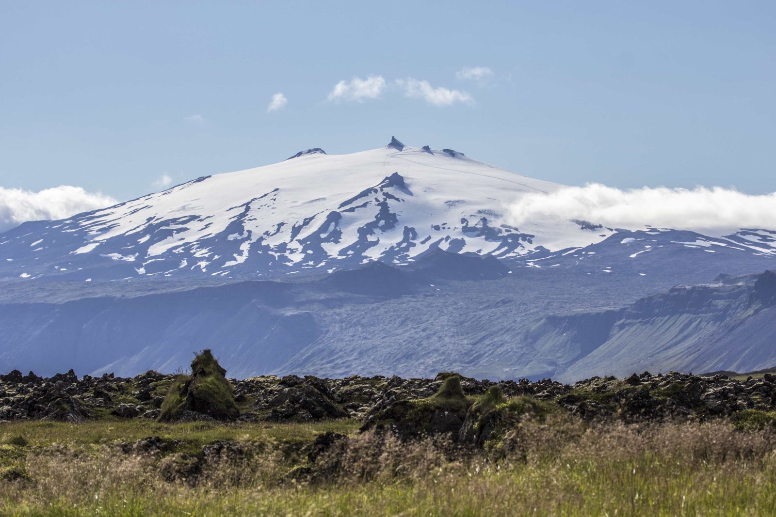
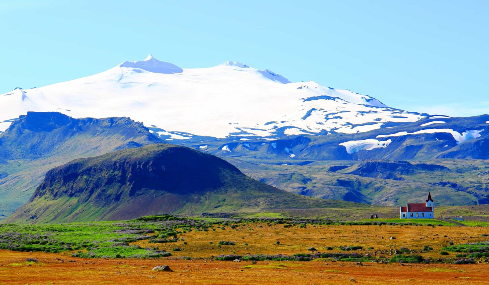
Snæfellsjökull is a 1,446-metre glacier-capped stratovolcano at the western tip of the Snæfellsnes peninsula, the centrepiece of Snæfellsjökull National Park. It is about 190 km (around 3 hours) from Reykjavík, free to view from the surrounding park, open all year, and the glacier summit is reached only with a certified guide.
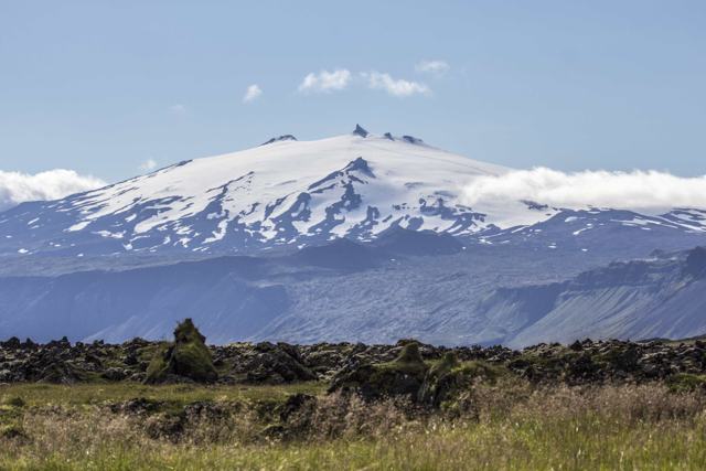
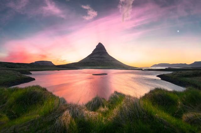
Snæfellsjökull dominates the whole Snæfellsnes peninsula, visible from Reykjavík on a clear day across Faxaflói bay. It is a stratovolcano capped by an ice cap, sitting inside Snæfellsjökull National Park, which protects around 170 km² of lava fields, cliffs and coastline around the mountain.
The mountain has been built up by repeated eruptions over roughly the last 800,000 years, and it last erupted about 1,800 years ago. It is still classed as an active volcano. Locals often just call it Snæfell, "snow mountain"; the ending jökull (glacier) is added to tell it apart from other mountains with the same name.
The volcano is best known outside Iceland as the entrance to the underground world in Jules Verne's 1864 novel Journey to the Centre of the Earth, in which explorers descend through its crater. On the ground, most visitors see it from the surrounding villages, coastal cliffs and lava fields rather than climbing it, since reaching the summit involves crevassed glacier terrain and needs a certified guide.
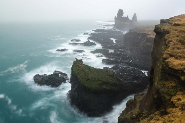
You do not need to set foot on the ice to enjoy Snæfellsjökull. The national park around it protects the lava fields, sea cliffs, beaches, plants and birdlife of the outer peninsula, along with remains of old fishing stations and farms, and most of the best-known stops on Snæfellsnes are really viewpoints of the glacier from different sides.
In Journey to the Centre of the Earth, Jules Verne sent his characters down through Snæfellsjökull's crater to begin their journey to the Earth's core, choosing the mountain partly for its brooding, isolated silhouette at the edge of the known world. The novel has shaped how many visitors see the volcano ever since, even though Verne himself never travelled to Iceland.
Locally, the mountain has long carried a reputation as a place of unusual energy. It is often described as one of the earth's ancient power sites, and for centuries it has been a source of mystery and superstition for people on the peninsula. It remains a striking landmark from almost anywhere on Snæfellsnes, changing character with the light and weather through the day.
The base of the mountain and surrounding lava fields can be explored independently at no cost; only the glacier itself requires a guide. Driving on the glacier is not allowed without a permit from the national park.
Route 574 circles the mountain, and a self-drive loop with short walks is the best way to see it from every side. Guided day tours of the peninsula follow much the same route.
If you want to go up on Snæfellsjökull, book a guided tour. Options are a glacier hike with crampons and ice axe, or a ride most of the way up in a snowcat. The summit views on a clear day take in the whole peninsula, Faxaflói bay and the Westfjords.
Whichever way you go, pack warm layers, a windproof and waterproof shell, gloves and strong boots. You will be walking on snow and uneven ground, and it is much colder and windier on top than at the coast. Tours are cancelled or turned around when the weather closes in, so keep some flexibility in your plans.
Weather on the peninsula can change quickly, and the volcano is often clear one hour and hidden in cloud the next.
There are no facilities on the mountain itself. Villages around the peninsula, including Arnarstapi, Hellnar and Ólafsvík, have cafés, restaurants and fuel.
Arnarstapi, Hellnar and Ólafsvík all have accommodation within easy reach of the volcano, from hostels and guesthouses to cottages and hotels, making the western end of Snæfellsnes a natural overnight stop. There are campsites too, which work well in summer; in winter they are not a good option, because the weather can turn at a moment's notice.
No, the glacier has crevasses and reaching the summit safely requires a certified guide, usually as part of a tour.
About 190 km, around 3 hours by car via Route 1 and Route 54.
Yes, it is the entrance to the underground world in Journey to the Centre of the Earth, published in 1864.
No, entry to Snæfellsjökull National Park is free; guided glacier tours are paid separately.
Yes, on a clear day it is visible across Faxaflói bay, about 120 km away, and seems to rise straight out of the sea.
Yes. It last erupted about 1,800 years ago and is considered active, though there are no signs of an eruption being near.
Summer for stable weather, glacier tours and birdlife; winter for snow, quiet roads and a chance of Northern Lights, as long as you follow the forecast.
Tours and trips that include Snæfellsjökull, booked directly with a local travel agency in Iceland.