Basic Information
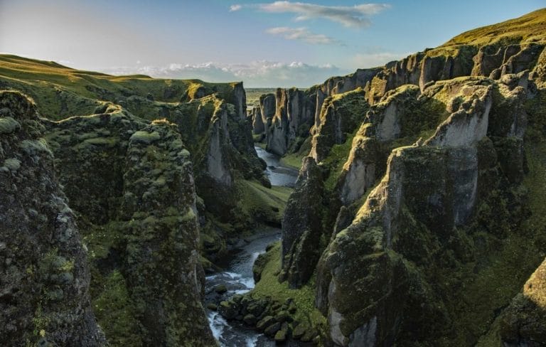
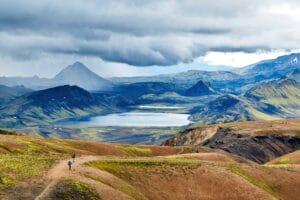
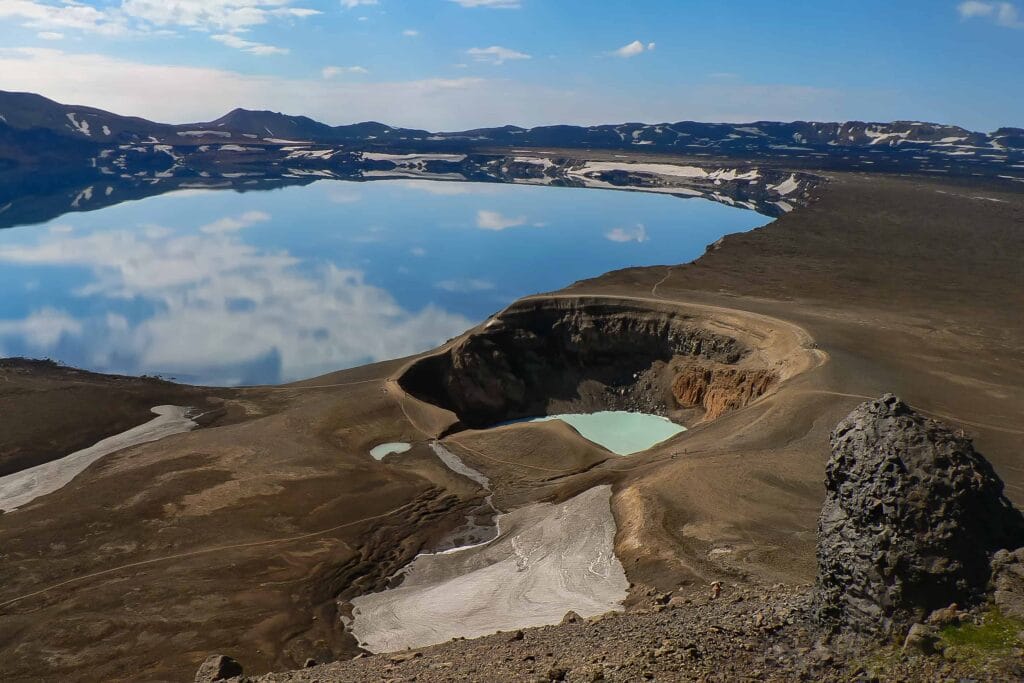
The largest volcanic crater in east-central Iceland, Askja is spread across an area of 50 square kilometers. Askja is a large basaltic volcano that forms the Dyngjufjöll massif. Askja is truncated by three overlapping craters; the largest of them is 8 km wide. This largest caldera is assumed to be produced from subglacial ring-fracture eruptions. An explosive eruption from Dyngjufjöll took place 10,000 years ago that resulted in the formation of Askja caldera. Askja is a part of Vatnajökull National Park and includes several volcanoes including Víti. The mountains around the caldera emerged in eruptions under an Ice Age glacier cap. The formation of Askja after major eruptions caused the roof of the lava chamber at the core of the central volcano to subside. The highest peak in the Dyngjufjöll is surrounded by Ódádhahraun lava field that is covering around 5,000 square kilometers.

Travel Around Askja Crater
While traveling around Askja volcanic crater, you will find Öskjuvatn Lake, which is the second deepest lake in the country after Jökulsárlón. It is situated in the Askja crater in the north-east of the Vatnajökull glacier with an area of 11 square kilometers. The Öskjuvatn Lake was formed in the eruption of 1875 when the Viti crater was formed. The latest eruption in Askja was in 1962. The small lake Víti, located near Askja, is popular among tourists. You can take a bath in the warm water in the crater. Even though it was formed in 1875, some of the parts of the lake are still boiling. If you plan to visit there, do not take a bath unless there is some wind. The carbon dioxide gets collected above the surface that causes difficulty for swimmers. If you want to go adventurous and do camping then you can visit the camping ground at Möðrudalur, at a 2.5-hour drive from Askja.

How To Reach Askja
The easiest route to reach Askja is driving the Ring Road 1 past Akureyri and Myvatn. After driving for some time, head on route 901 called Möðrudalsleið. Take a turn to the right to drive on F905 which is a mountainous road and only accessible by 4×4 cars. After 21 kilometers on this uneven road, take the F910 until you reach at the end of the road. After 5 kilometers of driving on F910, you will encounter the first river crossing. There are a total of three water crossings on this route. Drive on the F910 entire time until you reach the shelter and campsite at the end of the road. After reaching the end of the road, drive on the route F894 for another 20 minutes to the parking area at the end of the road. The parking area is called Vikraborgir Car Park.
Map of Askja
Interesting locations in the area
Activities
Hotels & Restaurants
- Möðrudalur
- Grímsstaðir
- Icelandair Hotel Myvatn
- Fjallakaffi