Iceland Travel GuideLOCAL TRAVEL AGENCY IN ICELAND
My trip
Talk to a local
Iceland Travel GuideLOCAL TRAVEL AGENCY IN ICELAND
My trip
Talk to a local
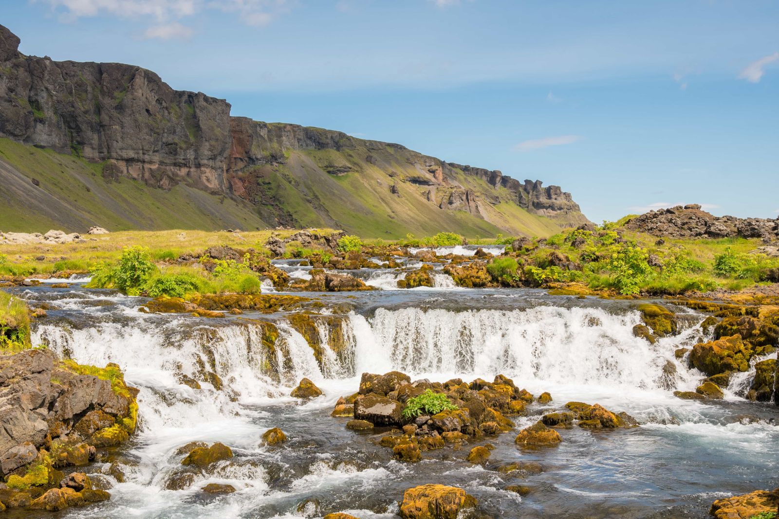
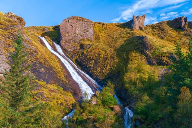
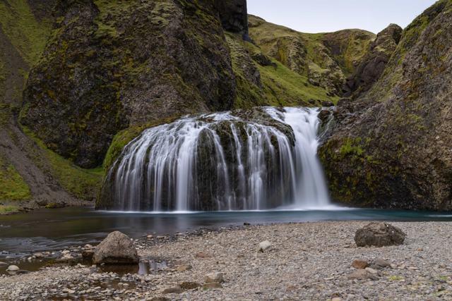
Fossálar is a small waterfall, or really a row of low cascades, where the Fossálar river steps down over dark lava ledges right beside the Ring Road, about 16 km northeast of Kirkjubæjarklaustur in South Iceland. It is free to visit, open all year and needs no hiking. Most people stop for 10–15 minutes.
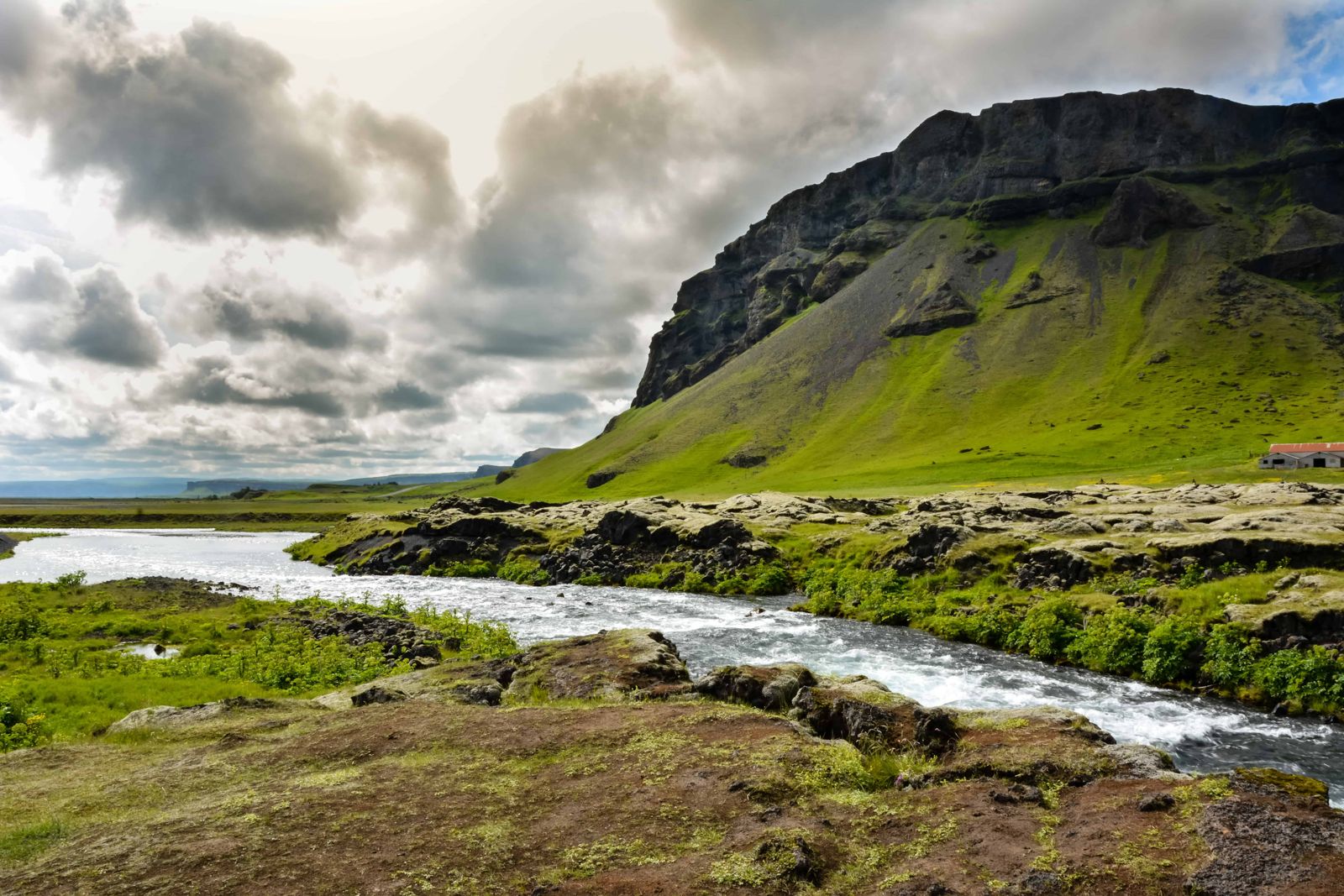
Fossálar sits at the edge of the lava from the Laki eruption of 1783–1784, one of the largest lava flows in recorded history. The moss-covered lava forms a natural amphitheatre around the falls, and the water drops over several ledges rather than in one clean plunge, which makes it a favourite quick photo stop for people driving the south coast.
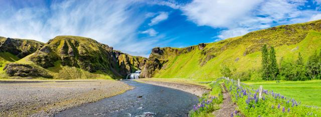
Fossálar is the name of both the river and its waterfalls. The river gathers from springs in the lava, from the small lake Þórutjörn and from the heaths above, and it runs on into the Skaftá. At the Ring Road it splits into several channels and falls as a row of small cascades. Some slide gently over the rock and others tumble and splash, with cliffs and green slopes behind. On a still day it looks like a landscape painting.
It is one of the lesser-known waterfalls in South Iceland, and most people find it by chance as they drive past. It is small, but the setting and the easy view make it popular with photographers.
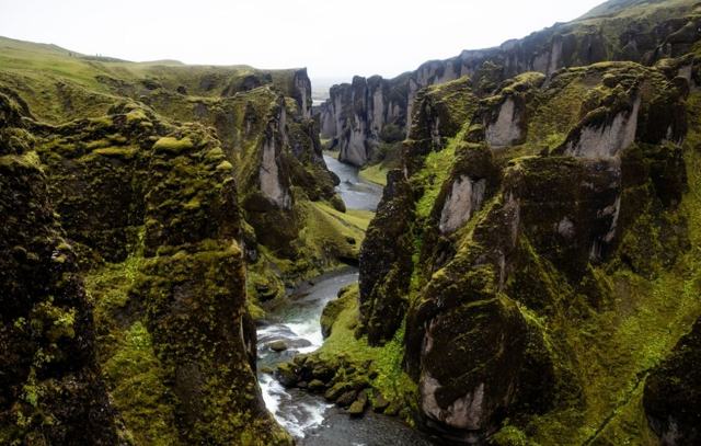
Because it is right next to the road with a small parking area, Fossálar is an easy way to get out of the car without committing to a hike. It rarely gets crowded, since most tour buses press on towards Kirkjubæjarklaustur or Fjaðrárgljúfur canyon.
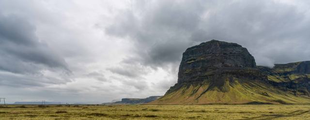
In June 1783 a long row of craters opened at Laki, in the highlands north of here, and lava poured out for eight months. It came down two river valleys towards the coast. The western arm is Eldhraun, which the Ring Road crosses west of Kirkjubæjarklaustur. The eastern arm, Brunahraun, reached the lowlands near Fossálar.
It was one of the deadliest eruptions in history. Gas and ash poisoned the grazing, most of Iceland's livestock died, and about a fifth of the people died in the famine that followed. Today thick moss covers much of the lava, and the Fossálar river runs through it and along its edge.
Park only in the parking area. Stopping on the Ring Road or on its shoulder is dangerous and not allowed.
Finding Fossálar is easy once you know it is there, but it is poorly signed and for years it did not appear on the common map apps. Most people stumble on it.
This is a look-and-photograph stop. Walk a few steps from the car and you have the whole row of cascades in front of you. Low light early or late in the day brings out the black rock and the green moss, and a slow shutter speed smooths the water if you have a tripod.
Enjoy the river from a little distance. The rocks at the bank are wet and slippery, and the water is cold and fast after rain. The spot is open and windy, so bring a warm, windproof layer even in summer.
The Fossálar river is also known for sea trout and Arctic char, so you may see anglers on the pools above and below the road, mostly in autumn.
None. The nearest toilets, fuel and food are in Kirkjubæjarklaustur.
Kirkjubæjarklaustur has hotels, guesthouses and a campsite and makes a good base for this stretch of the south coast.
Beside the Ring Road (Route 1) in South Iceland, about 16 km northeast of Kirkjubæjarklaustur on the way to Skaftafell. The GPS point is 63.85269, -17.8393.
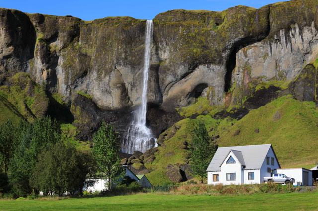
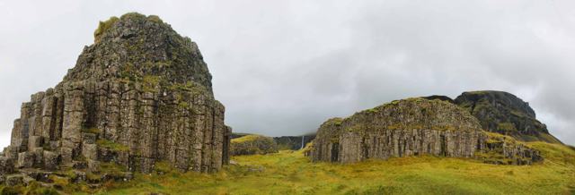
Drive east from Kirkjubæjarklaustur for about 15 minutes. The falls are a few metres from the road, just after Foss á Síðu and Dverghamrar, with a small parking area. Signs are poor, so use the coordinates.
No, it is free to visit and parking is also free.
No. It is visible right from the small car park beside the Ring Road.
About 10–15 minutes is enough for most visitors.
The lava from the Laki eruption of 1783–1784. The falls are at the edge of its eastern arm, Brunahraun. The western arm, Eldhraun, is on the other side of Kirkjubæjarklaustur.