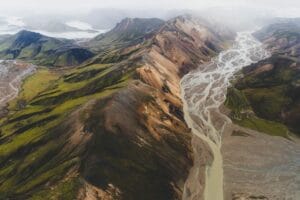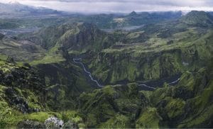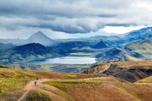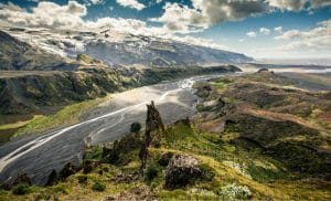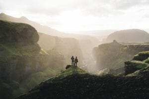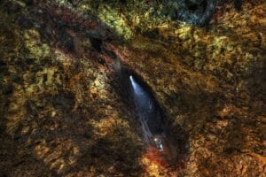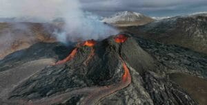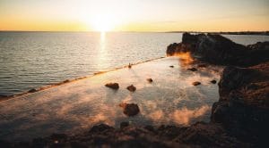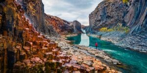
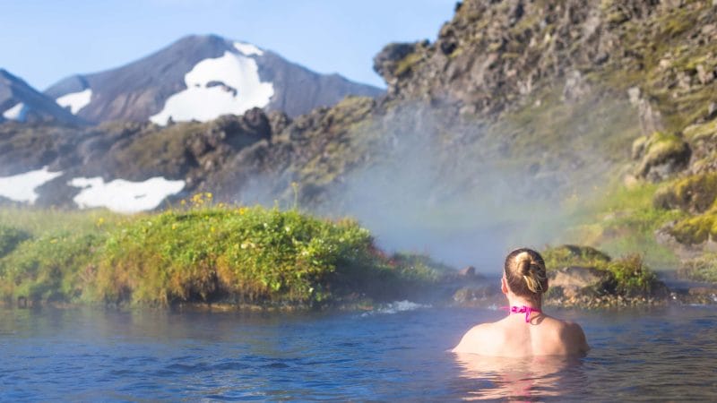
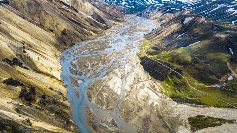
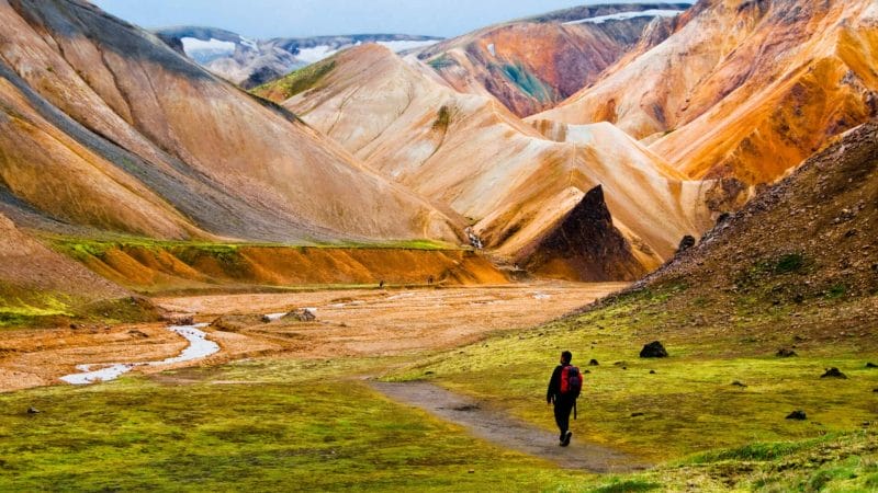

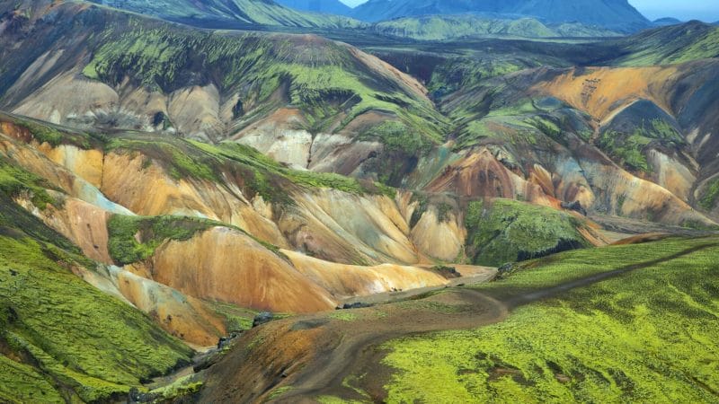
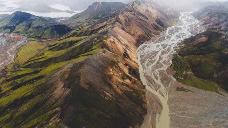
Landmannalaugar resides in the Fjallabak Nature Reserve of Iceland. Nestled in Iceland’s highlands, it is right on the edge of the Laugahraun lava field formed by a volcanic eruption around 1477. Landmannalaugar is famous for its beautiful rugged landscape and geothermal hot springs. It’s no surprise this place is a favorite among hikers and adventurers. It is slightly inaccessible compared to other Icelandic spots; Landmannalaugar provides a perfect opportunity to get away from Iceland’s summer crowds. If you’re planning to go on breath taking hikes, the Laugavegur hiking trail is an ideal choice.
There are several hiking trails in the Landmannalaugar ranging from 2-hour to four-day hikes in this stunning Icelandic landscape. In this article we will cover what you need to know about different Landmannalaugar hiking trails.
Colorful Mountains of Landmannalaugar
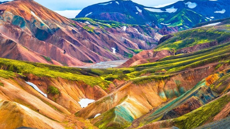
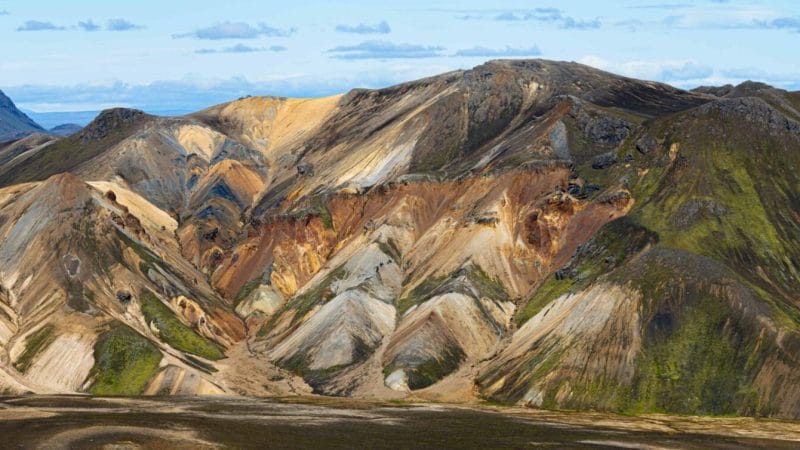
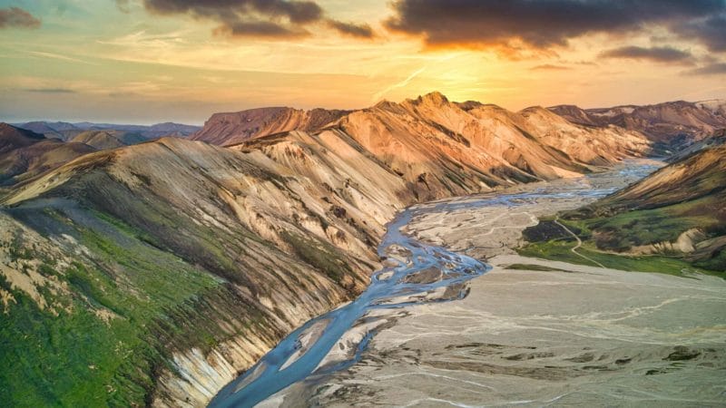
Landmannalaugar is a protected Icelandic natural area. What makes this landscape unique is colorful mountains. While most Icelandic mountains are dark-colored volcanic rocks, the Landmannalaugar area has some incredibly bright rhyolite mountains. You will find mountains painted in almost all rainbow colors – pink, red, green, yellow, and purple. Ensure that you have packed your camera in the luggage cause you will have plenty of photo opportunities. The hiking trails are accessible in the summer months. In winters, the Landmannalaugar area goes into hibernation mode, becomes inaccessible from June to May.
Landmannalaugar Hiking Trails
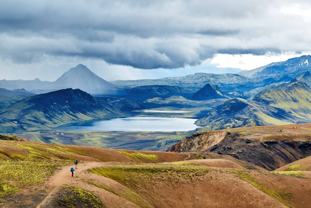
There are two standard features you will find while hiking in Landmannalaugar: colorful mountains and hot springs. Hiking in these beautiful landscapes filled with natural geothermal pools and colorful mountains is an experience like no other.
1. Laugavegur Hiking Trail
- 55 km
- 3-4 days
- Moderate
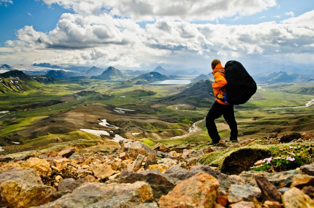
Laugavegur means “hot spring route.” Laugavegur is the third-longest hiking trail in Iceland, and it is considered one of the best most scenic trails in the world. The 56 KM trail from Landmannalaugar to Þórsmörk is technically not a typical hike; it takes about three to four days to complete the hike. No wonder why it attracts adventurers from around the world. The trek is filled with mesmerizing geographic features: snowcapped summits, colorful rhyolite mountains, and green birch valleys.
The Laugavegur trail is dotted with huts along the way. It’s so popular among hikers, especially in the summers; finding a wooden bunk can be difficult. Book your space in shared bunks in advance. For hardcore adventurers, this shouldn’t be an issue if you are traveling with your camping gear. There are plenty of areas for camping along the trail. Most hikers end their journey at Þórsmörk, but many continue their hiking journey from here to another beautiful track on Fimmvörðuháls hiking trail, which takes you from Þórsmörk to Skógar. As the Laugavegur trail is the most extended trek on this list, it demands more information than others.
Four Day Hiking Itinerary: From Landmannalaugar to Þórsmörk
Day 1: 12 KM hike from Landmannalaugar to Hrafntinnusker
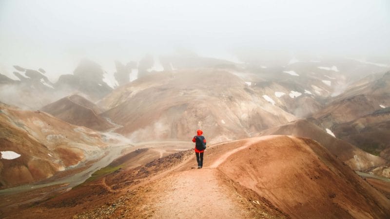
On day one, you can start your journey from Landmannalaugar in the morning to complete the 12 km hike. You will pass by several hot volcanic fumaroles through beautiful colorful rocks, and you may have to walk on the snowy trek. The elevation rises gradually except for two steep, almost vertical parts. You may have to use both hand and foot to hike in the steeper parts.
In your first day hike, you will gain a 470 m elevation and finish at the highest point in a basic hut. Chill out in this shared hut for a night. In summers, Iceland has plenty of sunlight. So active hikers can use the extra daylight to continue their journey.
Day 2: 12 KM hike from Hrafntinnusker to Álftavatn
It could be your favorite day hike as this trek is filled with various eye-pleasing sceneries. To start with, you will see chocolate and beige-colored landscape before an uphill climb from where you will get a sweeping view of the stunning rainbow-colored rocks. If weather favors, you can get a clear picture of the nearby glacier and green mountains in the valley. Some areas can be quite steep, but you can easily climb with your hiking pole. After that, you will make a final descent downhill where you will find a small river. It’s a small river, so crossing shouldn’t be an issue for most hikers.
Spend the night in a relatively comfortable hut with shower and bathroom facilities. The place also features a small restaurant and bar; what can be a more thrilling experience than enjoying food and wine from a mountain view?
Day 3: 15 KM hike from Álftavatn to Emstrur
Your day three will be slightly longer than the last two days of trekking. But it’s a comparatively easier hike due to flatter terrain. There will be another river crossing, but this river is a bit wider and cold. Still, you may traverse through quite quickly as the water level is just knee-high.
After crossing the river, you will reach a volcanic field with small pebbles and wildflowers. The lava field looks like a black night filled with some strange celestial bodies. Once you pass through jagged mountains and glaciers, you get a stunning view of the Myrdalsjokull glacier at Emstrur (Botnar), where you will spend your third night in a hut. Don’t forget to get a sunrise view of the beautiful Myrdalsjokull glacier.
Day 4: 15 KM hike from Emstrur (Botnar) to Þórsmörk
Your final day hike is similar in length to day three. You will trek downhill towards the canyon of Syðri-Emstruá River. You can cross the river on a hiking bridge or cross the river on foot. From here, you will pass through Almenningar hilly area. At the end of this hill, you will find another river known as the Þröngá River. It is the widest and deepest river you will ever come across on your Laugavegur trail. Use your hiking poles to balance while wading through the river. Once you cross this river, you will enter the green area of Þórsmörk. While trekking through this forest area, you will reach the Volcano huts in Langidalur. There are daily bus services from Langidalur to Reykjavik.
2. Brennisteinsalda: The Sulfur Wave Hike
- 6.7 km
- 3-4 hours
- Hard
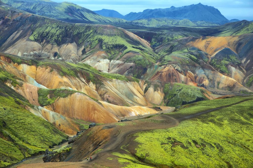
Brennisteinsalda is a volcano situated near Landmannalaugar. It is called sulfur wave because of the sulfur spots providing different colors to this volcanic mountain.
The sulfur wave hike is one of the most beautiful short trails that takes you to rainbow-colored rhyolite mountains. It is mesmerizing to see the volcanic Landmannalaugar mountain from the base of the campsite. Fast hikers can complete the 6.7 KM trek in 3-4 hours.
The hiking trails pass through the Laugahraun lava field, and you will spot many hot sulfur springs before reaching 855 meters high Landmannalaugar mountain. From here, you will have a stunning 360-degree view over the valley down below. If you wish, you can also walk through Grænagil Canyon while coming down from the hill. The walls and rocks around the canyon have scarce bluish-green colors.
3. Bláhnjúkur: The Blue Peak Trail
- 6.6 km
- 2.5 hours
- Moderate
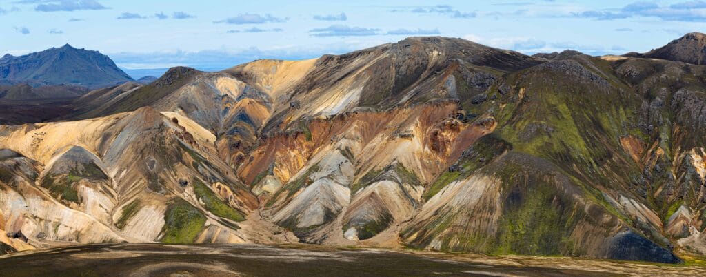
This short trek takes you to bluish-black colored Bláhnjúkur mountain. It takes around two to four hours to complete this scenic path covered in lava and volcanic ash. If you’re lucky to have a clear day, you can see five glaciers from the top of the Bláhnjúkur peak. The trek is not challenging, but some areas are quite steep, so uphill time depends upon your walking speed and fitness.
4. Ljótipollur: The Ugly Puddle Trail
- 13 km
- 4 hours
- Moderate
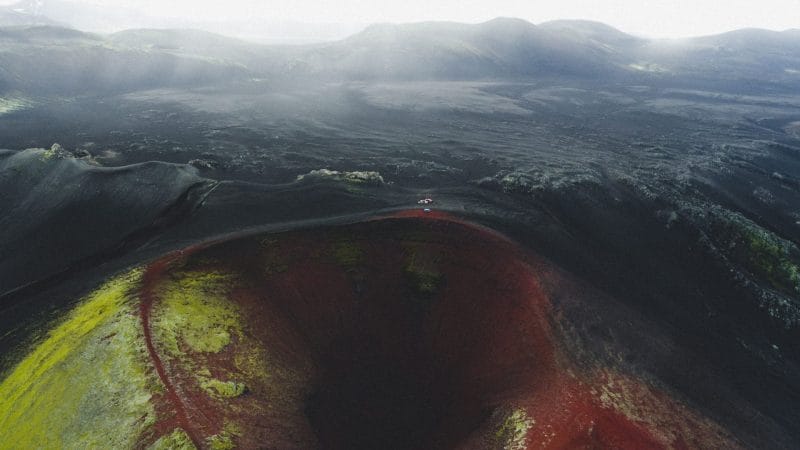
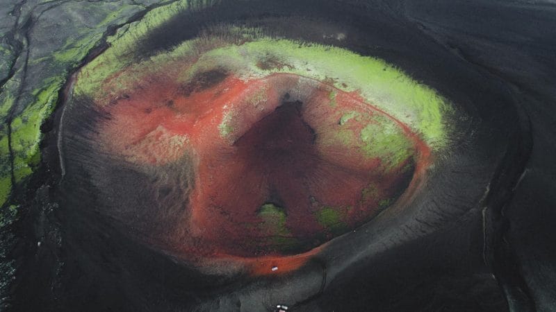
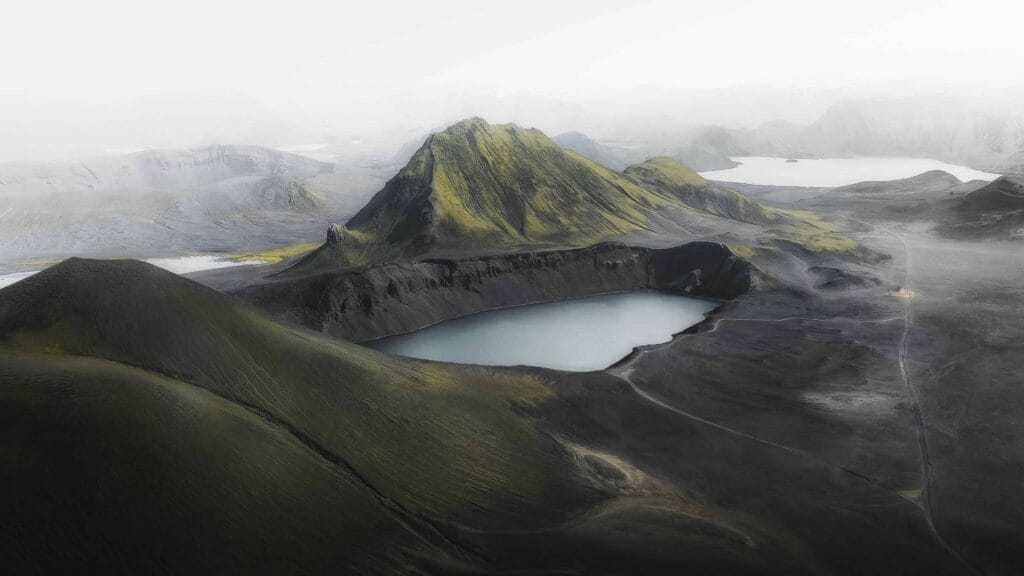
Ljótipollur is an explosion crater right in the middle of the Fjallabak National Park. It translates into English as ‘the ugly puddle’ despite the fact it has a gorgeous landscape.
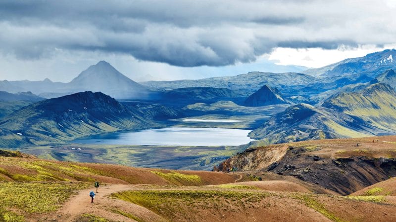
The Ugly Puddle starts from the Landmannalaugar trail, which leads through a beautiful lava field up to Frostardarvatn. The path is concise but quite steep in the beginning. Once you reach the top of the crater, you get a scenic view of the lake overlooking the mountains. While following the trek, you will come across an excellent lava formation, the cone of Sutur. Further downhill, there is this crater where you will meet beautiful Ljotipollur lake. It will take roughly an hour or more to cover the crater-hole spread in 4 KM diameter. Once you cover the crater area, head back to Landmannalaugar.
5. Hellismannaleid: The Cave People Trail

- 55 km
- 3 days
- Moderate
Hellismannaleid is another multi-day hike, although not quite popular as the Laugavegur trail. This 55 Km long trek starts from Landmannalaugar and ends in Rjúpnavellir lava area. It is a comparatively new trek that began in 2009 many travelers are not aware of.
On this trekking route, you will come across lava fields, waterfalls, forest-covered valleys, and of course, geothermal baths (that’s pretty common in Iceland, isn’t it?).
Day 1: 16 KM hike from Landmannalaugar to Landmannahellir Cave
The first part of the hike goes from Landmannalaugar to Landmannahellir lava cave, around 16.5 kilometers. You will be walking across Laugahraun lava fields, the same route as when you start waling the infamous Laugavegur Trail. When you reach Brennisteinsalda you will take a right turn to Vondugilsaura and up to Uppgönguhrygg, instead of turing left on the Laugavegur Trail. You will end the day at the huts in Landmannahellir cave. The hiking time for this day is around 5-7 hours.
Day 2: 17-18 KM hike from Landmannahellir Cave to Áfangagil canyon
On the second day of the hike you will be hiking through Lambafitjahraun lava fields and wading across Helliskvísl river. This is the only river that you will cross on this route, and it is fairly easy to walk across it. Hike over Valahnúka and Valafell until you reach Áfangagil. The hiking time for this day is around 5-7 hours.
Day 3: 21 KM hike from Áfangagil canyon to Rjúpnavellir
This 21 km hike takes you to waterfalls, sheep gatherings, Ytri Rangá river and canyons. You will end the day in Rjúpnavellir where you can find a new hut. Rjúpnavellir is accessible for all cars but you can also take a daily bus during the summer time. The hiking time for this day is around 6-7 hours.
6. Grænagil-Laugavegur Loop

- 3.5 km
- 1.5 - 2 hours
- Easy
This is the shortest hike among all the listed hikes here. So it is an ideal choice for those with a tight timeframe. Moreover, the hiking path is comparatively flat with not many steep hills. This feature makes it perfect hiking for beginners. However, there can be some challenges due to bad weather. Overall, a short and easy circle around the magnificent Grænagil Canyon and Brennisteinsalda Mountain.
On this loop, you will walk through the obsidian lave field, which leads to the valley. The green valley filled with lava rocks makes it a wonderful hiking experience. Further down the foothills, you will see a colorful Brennisteinsalda peak. Then turn left, and you will get a glimpse of the green Grænagil canyon. Follow this trail, and you will complete the loop back to the campsite.
7. Sprengisandur Route (For experienced hikers)

The most isolated hiking trail, the Sprengisandur route, is perhaps the longest trail of about 200 KM. The route connects Hofsjokull glacier and Europe’s largest glacier, Vatnajokull. The highland plateau was once the main route between the North and South of Iceland. It becomes accessible only in summers, is very desolate and barren. There are many superstitious stories about this route; earlier, people believed that this barren land is cursed.
Whatever the story, this route is suitable for adventurers, experienced hikers. This route offers various trekking possibilities; you can either choose a specific section of it or complete the entire 200 KM trek. Plan everything ahead, consider your fitness, or best if you could find a hiking group. Sometimes the barren landscape can overwhelm the hikers traveling alone.
Best time to visit Landmannalaguar:
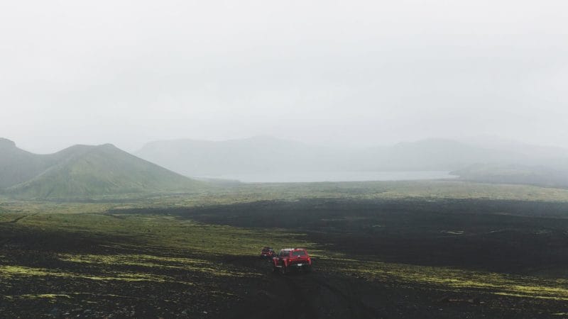
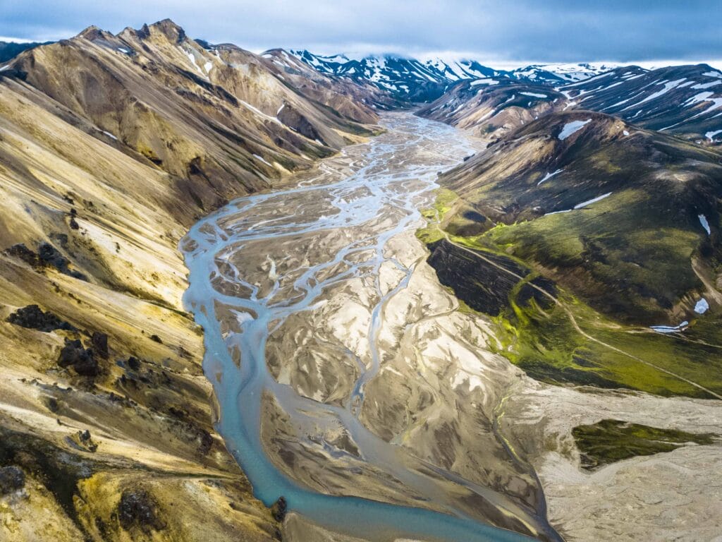
Summer months from June to August are the ideal time to visit here. You will find plenty of other attractions such as horse riding during summers in Landmannalaugar. You can also find variety of guided tours to Landmannalaugar in these months. The area becomes inaccessible with the arrival of winters, but some Super Truck tours can take you to the best winter wonderland you have ever witness.
If you’re planning to self drive to Landmannalaugar, a 4×4 truck is necessary as the road is mountainous and rocky. The regular vehicles may not be able to traverse through these rough terrains, and if you have a rented car, you are not allowed to drive on those roads in a regular car.
Accommodation:
There are no hotels in Landmannalaugar itself. Camping is the only option here. However, there are numerous huts on the trekking routes, so accommodation shouldn’t be an issue for adventurer tourists. The campsite also features a mountain hut that can easily fit 75 people.
Safety and Rules:
Landmannalaguar is a highly protected area of Iceland. There are designated campsites on every hike; camping outside of the marked areas is forbidden. If you’re traveling with your camp gear, pitch next to the huts.
Fjallabak Nature Reserve is protected under Iceland’s Nature Conservation Act since 1979. There is plenty of unique flora and fauna in this natural reserve. Don’t litter or step off the trail.
Weather:
Landmannalaguar valley is located in the Icelandic Highlands. The weather can take a sudden unpleasing turn, so take strong and good quality tents if you’re planning to camp on your own. Check the weather conditions before traveling here. Solo travelers should download the Safe Travel App, which provides travelers with helpful information for safe travel in Iceland.
Additional Information:
- You will need suitable hiking gear as terrains can be rugged. Take a good quality hiking boot and multi-layered waterproof clothing to protect yourself from strong and cold winds.
- If you’re new to hiking, hiring a tourist guide or joining a guided group tour is recommended.
No matter whether you choose a multi-day trail or a few hours’ treks, the visit to Landmannalaugar is going to be an unforgettable travel experience.


