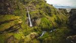
Múlagljúfur Canyon along with Hangandifoss and Múlafoss waterfalls are listed amidst the most scenic attractions of Iceland that are sure to leave you awestruck but lack of complete information and access has restricted people from visiting there. But this place is worth a visit.
Basic Information
- GPS: 63.98958, -16.4588
- Hidden location in south Iceland.
- Easy to Moderate 30-40 minute hike to the viewing place.
- Best to visit during summer.
- Free parking lot
- No signs will lead you to this destination.
Explore Múlagljúfur - the Hidden Gem of Iceland
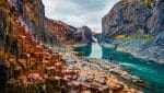
Múlagljúfur Canyon is an extraordinary destination that should not be missed on a trip to Iceland. Hidden for years, it has only recently become a popular spot among travelers. Located in the south of Iceland, the canyon features narrow paths, overgrown bushes, and loose rocks scattered throughout.
Múlagljúfuris nestled close to the Fjallsárlón and Jökulsárlón glacier lagoons. It’s an ideal location for hiking and spending quality time with friends and family during the summer season. However, the autumn and spring seasons can be muddy and slippery, making it less favorable for hiking. In the winter, it’s best to avoid hiking without proper equipment and sturdy boots for ice-covered terrain. Despite the varying weather, the unique beauty of Múlagljúfur Canyon makes it worth visiting time and time again.
How to find Mulagljufur Canyon
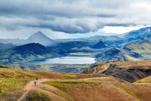
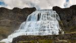
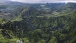
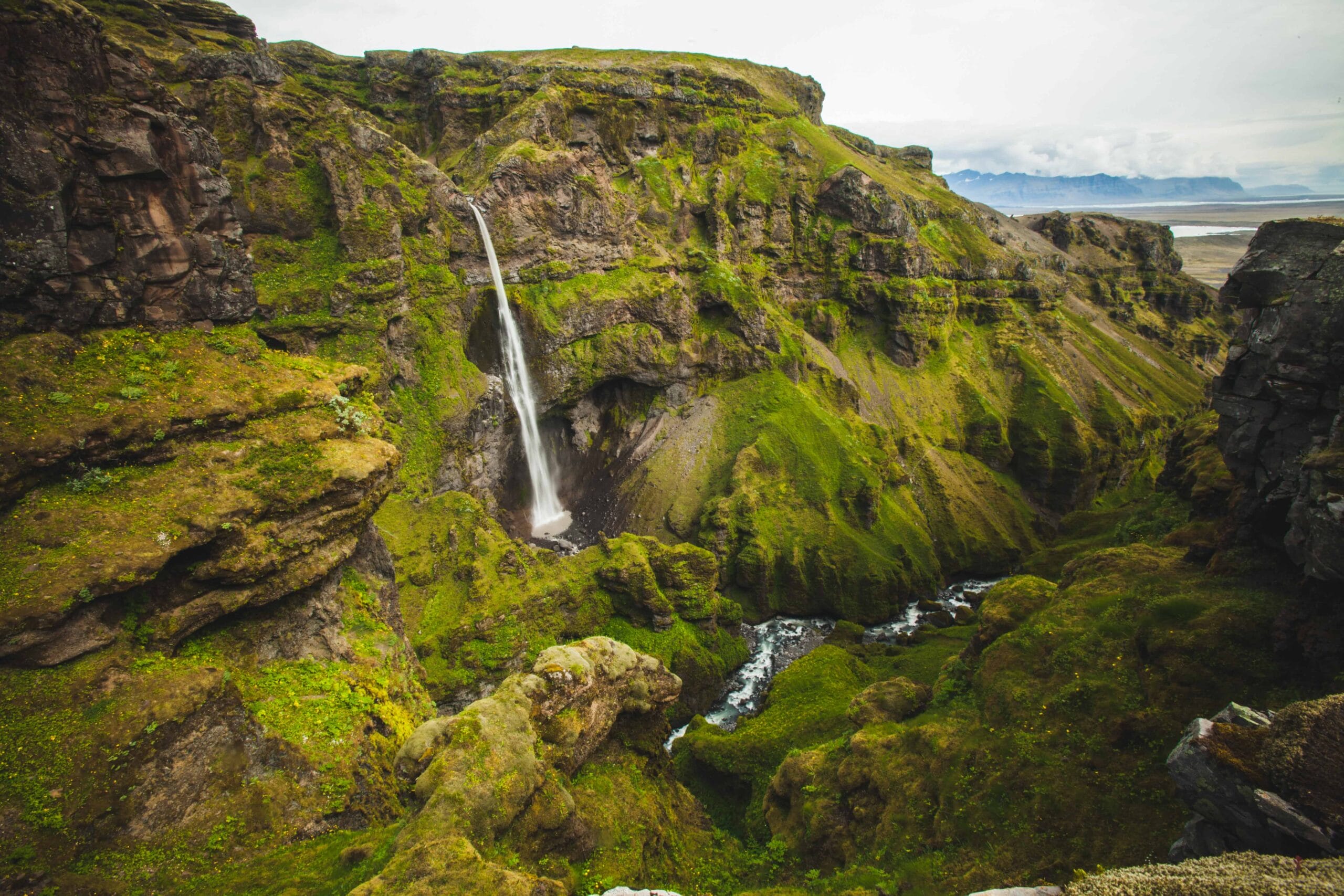
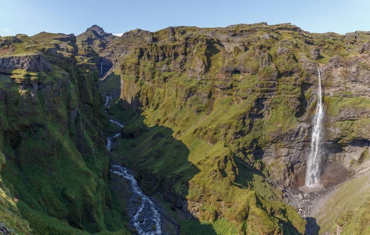
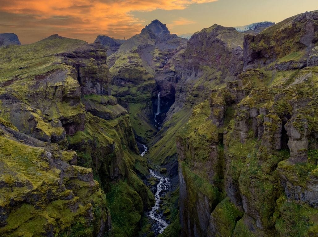
The Mulagljufur hiking path offers breathtaking views of the complete trail and the canyon. Spending hours taking in the majestic scenery is a must-do activity. The best views are in clear weather, with Vatnajökull glacier, Hangandifoss, and Múlafoss waterfalls visible in the distance.
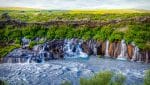
Hangandifoss is one of the tallest waterfalls in Iceland, while the impressive Múlagljúfur canyon with its plunging waterfall creates a visually appealing sight. However, visitors should not expect proper signboards and marked trails, as the starting point of Mulagljufur Canyon is not clearly marked. To get there, visitors must navigate through overgrown bushes, small river streams, and different trails along the rim of the canyon. The parking area is located at the bottom of the canyon mouth, making it easier to hike through the path. Despite the lack of complete information and access, the Mulagljufur hiking path is worth the visit and is listed among Iceland’s most scenic attractions that are sure to leave visitors awestruck.
Find step by step guide to hiking to Mulagljufur here below.


Múlagljúfur Hiking Trail
The hike to Múlagljúfur is possible throughout the year, depending on the snow levels, as the trail is not well-marked. However, we recommend embarking on the hike between late April and early October.
Iceland’s weather conditions can be monitored through three informative websites:
- Belgingur (providing details on precipitation and wind)
- Safe Travel (offering warnings and travel advice),
- Road Conditions (offering information on road closures and web cameras).
The hike to Múlagljúfur is truly enchanting, as it offers a short yet invigorating trek with stunning views throughout. After just 15 minutes of hiking, you’ll be treated to the breathtaking sight of Hangandifoss waterfall, boasting some of the bluest water you’ll ever see. As you continue along the trail, you’ll find yourself marveling at the panoramic views of Fjallsárlón glacier lagoon, picturesque mountains, vibrant textures, and intriguing rock formations. While trekking further, you’ll also come across a smaller waterfall, whose name remains a mystery even after consulting 5 different atlases. Finally, the highlight of the hike awaits you at Múlafoss waterfall, a true gem to behold.
Step by step guide to hiking to Mulagljufur
The information available on hiking to Múlagljúfur is quite limited. Here are some specifications of the hike:
- Location: Southeast Iceland, just 5 minutes away from Fjallsárlón.
- Distance: 2.35 miles one way.
- Time: 35-60 minutes one way, depending on your pace.
- Elevation: 1,035 feet.
- Incline: Uphill for 627 feet.
- Terrain: Narrow paths, overgrown bushes, and loose rocks/stones (or mud if it has rained).
- Path Condition: Not well marked, with many of the stakes being worn down or very small.
Step 1: Múlagljúfur Parking Lot
To start off, you can utilize these coordinates (63.9886667; -16.3971589) on Google Maps to locate the dirt road pull off point from Route 1. During the summer, heavy rains cause this road to get rutted up and washed out. There is also a small river that appears, so it is recommended that you drive a 4×4 vehicle even though not necessary. Drive until you spot an unmarked parking lot. (Note: The coordinates of the parking lot: N 63.993021°; W 16.436285°).
We recommend wearing proper hiking boots, as the hike entails traversing narrow pathways, loose gravel, and rocks. Lastly, it’s imperative to carry a backpack with water, lunch/snacks, and a camera.
Step 2: Múlagljúfur Trail
Once you’ve parked your vehicle, the trail markers above the glacier river retaining wall should be visible, starting with faded yellow and red stakes, and then varying in color from plain brown to white. The hike begins with a fun creek crossing that is easy to navigate. As you hike, take the time to appreciate the stunning obsidian scattered throughout the landscape.
Step 3: River Crossing
To reach the canyon rim, you will need to cross two small streams during your hike. The first river is a small creek which is easy to jump over. The second river crossing can become swollen with glacier melt and rain, so it’s important to choose your path carefully. After crossing the second river, the final stretch of the hike is a steep and narrow incline. It’s essential to have sure footing as you ascend to the canyon rim. Take your time and exercise caution as some parts of the trail can be challenging.
Step 4: Magnificent views
If you’re looking for breathtaking panoramic views, Múlagljúfur is the perfect hiking spot for you. The 35-60 minutes hike will be well worth it once you arrive to the viewing point. You will be rewarded with stunning 360-degree views that are truly worth the effort. Take the time to savor the moment and immerse yourself in the surroundings. Resist the urge to capture everything with your phone or camera and instead, take a deep breath and engage your senses – listen to the sounds, feel the breeze, and be present in the moment. Don’t miss out on this unforgettable experience!
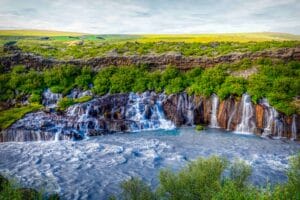
More Locations on the South Coast
Discover more locations in this area:

Directions to Múlagljúfur Canyon
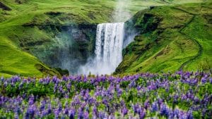
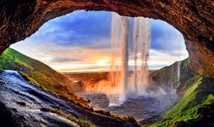
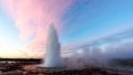
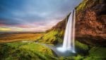
If you’re headed to Mulagljufur canyon for the first time, the lack of proper signage might cause some confusion. To reach the canyon from Reykjavík, plan for a 4.5-hour drive on Ring Road (Road 1), which will take you through some of Iceland’s most beautiful locations, including Skógafoss and Seljalandsfoss waterfalls. However, there are no signs or directional boards pointing towards the canyon or the waterfall, so be vigilant. The road leading from the Ring Road to the canyon’s parking lot can be difficult to locate, so keep a close eye on every turn and trail as you approach. A 4×4 vehicle is recommended for the short, gravel and stone-filled path to the canyon. Additionally, remember to pack hiking boots and other necessary items for a safe and enjoyable adventure with your loved ones.
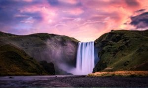
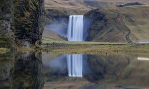
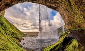
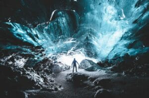
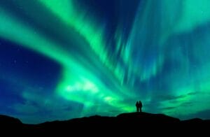
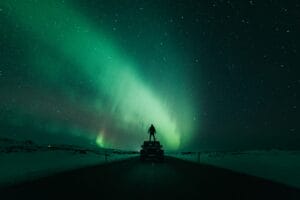
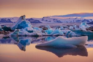
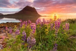
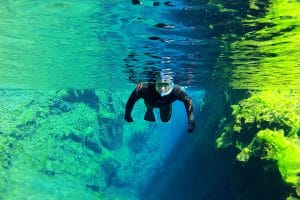
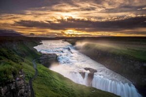
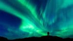
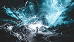
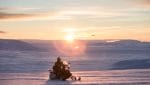
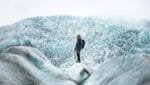
Gallery

Múlagljúfur Canyon on a map
Interesting locations in the area
Activities
Hotels & Restaurants
- Hotel Skaftafell
- Fosshotel Glacier Lagoon
- Fosshotel Núpar
- Hotel Skaftafell