Iceland Travel Guide logo Iceland Travel GuideLOCAL TRAVEL AGENCY IN ICELAND My trip Talk to a local
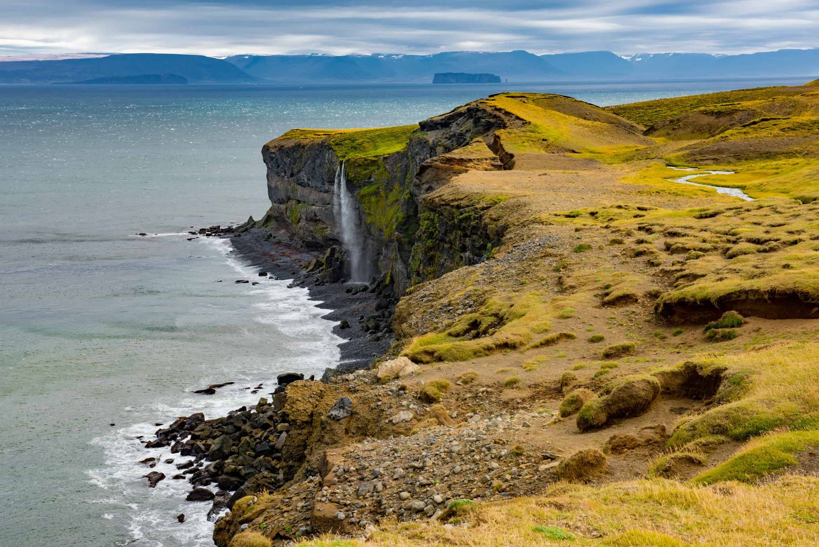
Ketubjörg cliffs

SkagiCliffsFree entrySummer easiest
KETUBJÖRG IN SHORT

Ketubjörg is a 122 m sea cliff on the Skagi peninsula in North Iceland, reached by the gravel Route 745 and a short walk. It is about 290 km (around 4 to 4.5 hours) from Reykjavík and 45 km north of Sauðárkrókur. It is free to visit and easiest from June to September, and the cliff edges are unstable.

ON THIS PAGE
Quick factsHistoryGetting thereAround SkagiBest time to visitSafety tipsFacilitiesMapNearbyWhere to stayFAQ

About Ketubjörg

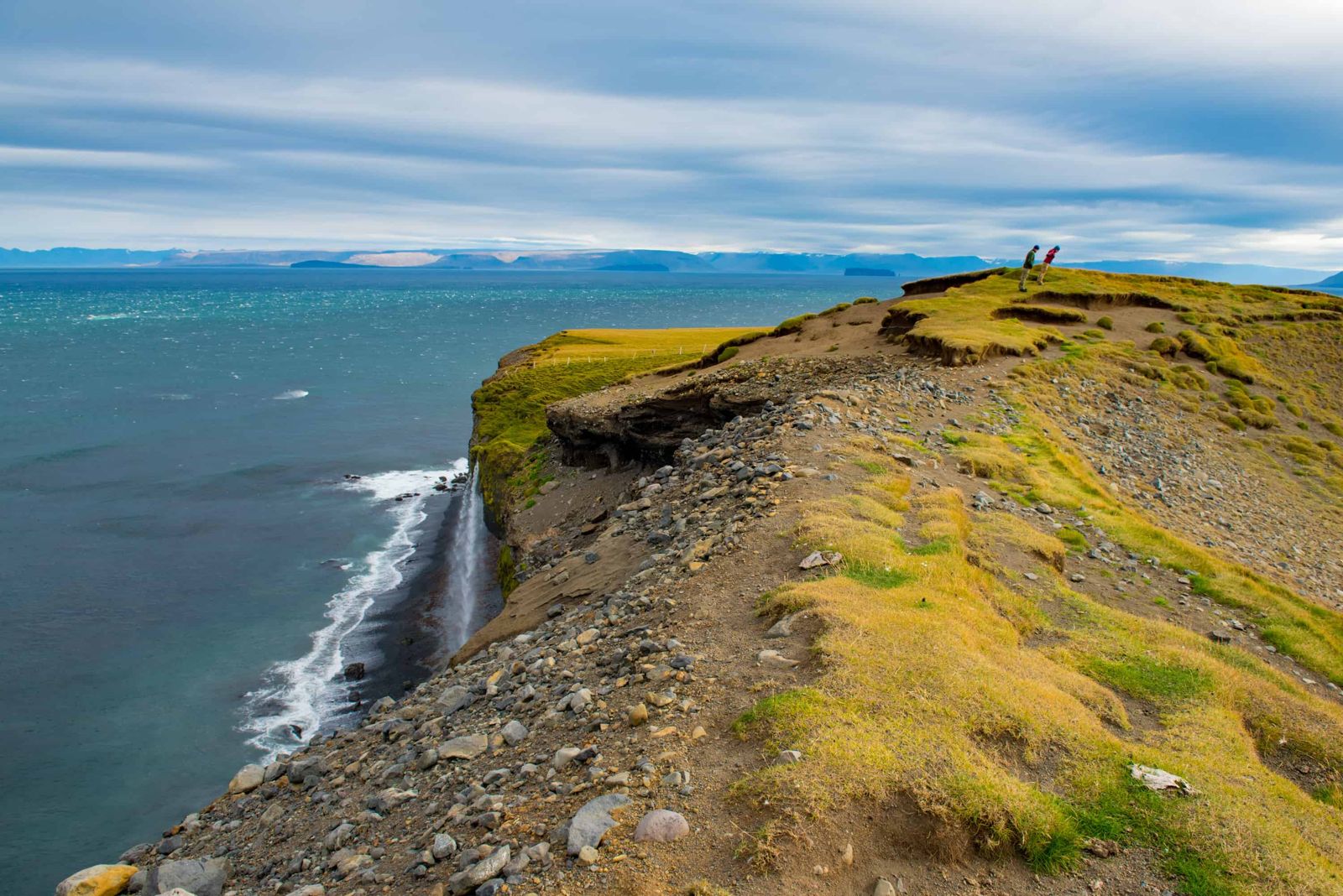
Ketubjörg is on the Skagi peninsula, between Skagafjörður and Húnaflói, just south of the old farm Keta. It is the remnant of an ice-age volcano, cut back by the sea into cliffs of about 122 m with columnar basalt on the faces. Small rivers drop straight into the sea over the edge, and seabirds nest on the cliffs. A tall rock pillar called Kerling, the old woman, stands to the north-east of the main cliffs.

It takes effort to reach, on a gravel road away from the Ring Road, so it sees far fewer visitors than North Iceland's better-known coastal sites. It is also a landscape that is disappearing. The cliffs are eroding fast, and a large section collapsed in November 2019, so this is a place to look from a distance.

Quick facts

HeightAbout 122 m
RegionSkagi peninsula, North Iceland
From ReykjavíkAbout 290 km, around 4 to 4.5 hours by car
From SauðárkrókurAbout 45 km north
EntryFree
RoadRoute 745 (Skagavegur), gravel, about 26 km from where it leaves Route 744; ordinary cars can usually manage it in summer
WalkAbout 4 km with two waterfalls, roughly 45 minutes to 1 hour 15 minutes, easy
Opening hoursNo fixed hours; best visited June to September
Time needed1 hour or so, plus driving on the gravel road

Trolls, a fallen cliff and an old road

The cliffs are the core of an ice-age volcanic island. Folklore says trolls held their assemblies in a cleft in the rock called Tröllalögrétta, and that elves live in the nearby cliff Grímsborg. One story says a local priest drove the trolls away with sorcery. Iceland's main road once ran along the cliff edge here, which made travel hard.

Erosion is reshaping the coast. A crack opened near the Dalshorn lookout and widened to about 3 m, and in November 2019 thousands of tonnes of rock fell into the sea, registering on seismographs 9 km away. More cracks are still forming.

Skagi has always been a remote corner of the north. Local accounts say that farms near the tip of the peninsula, such as Hafnir and Hraun, were not connected to electricity until 1975.

How to get to Ketubjörg

By carDrive to Sauðárkrókur or Skagaströnd, then take the gravel Route 745 (Skagavegur) along the Skagi coast, which is signed for Ketubjörg. There are small pull-outs by the two waterfalls at either end of the cliffs. A service road on private land is used for walking between the features.
By public transportThere is no public transport to Ketubjörg, so you need a car.

Route 745 is unpaved, stony in places and foggy in bad weather. It can be closed or hard to drive from autumn to early summer, and some sources say it is usually impassable from September to June. Check umferdin.is before setting out. A 4x4 is not required in summer, but drive slowly.

Around Ketubjörg: Skagi, Drangey and Húnaflói

Ketubjörg is one stop on a quiet loop between Skagafjörður and Húnaflói. These places fit into the same day or the next one.

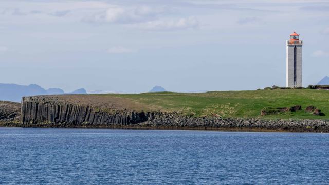
The Skagi coast roadRoute 745 runs right around the Skagi peninsula and is part of the Arctic Coast Way. Driving it yourself means you can stop where you like: at Ketubjörg, at the basalt columns of Kálfshamarsvík on the west side, and at the lonely farms near the tip of the peninsula.
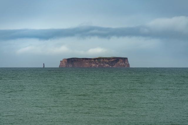
Drangey islandThe flat-topped island out in Skagafjörður is Drangey, a bird cliff about 180 m high. The only way up is a steep man-made path from Uppgönguvík, the 'climbing-up cove', with ropes to hold on to. Go with a local guide. Boat trips run in summer and are good for birdwatching even if you do not climb.
GrettislaugA hot pool by the sea at Reykir, on its own side road north of Sauðárkrókur. It is a good place to soak after the gravel drive.
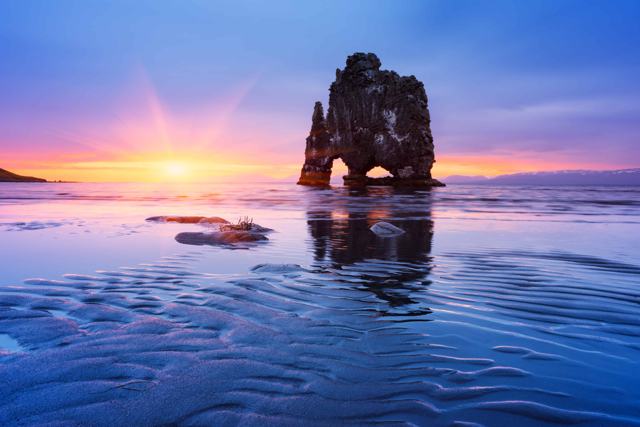
Húnaflói bayWest of Skagi lies Húnaflói, a wide bay with long, colourful summer evenings. Blönduós is the main stop on the Ring Road there, and the Vatnsnes peninsula on the south side of the bay is known for seals and the Hvítserkur sea stack.

Distances are long and services are few on Skagi. Make a short list of the stops you want before you set off, and fill the tank first.

Best time to visit Ketubjörg

SummerThe easiest time to reach Ketubjörg. The weather is usually steadier, the long days make the gravel drive safer, seabirds nest on the cliffs and the road is in its best condition.
WinterAccess can be difficult or impossible, daylight is short and the cliffs are hazardous. It is not a recommended season to visit.

Safety and practical tips

  • Check road conditions before setting out, as the route is gravel and remote.
  • Keep well back from the cliff edges. The cliffs are actively collapsing, and there are cracks near the top.
  • Take the view from a distance and stay off the ground above the edge.
  • Bring your own food, water and a full tank, as there are no facilities nearby.
  • Fog can come in quickly on the coast, so drive carefully.
  • Keep children close and well away from the steep ground at all times.
  • Wear sturdy shoes with a good grip. The grass is uneven and often wet.
  • Photographers should bring a longer lens for the seabirds and the Kerling pillar, so there is no need to go near the edge.

Facilities and accessibility

None on site. The nearest services are in Sauðárkrókur or Skagaströnd.

On the map

Open in Google Maps →

Nearby places worth a stop

SkagaströndFishing village on the west side of the peninsula
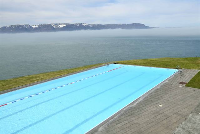
KálfshamarsvíkKálfshamarsvíkBasalt column cove further along SkagiHofsósHofsósVillage with a well-known infinity pool, on the east side of SkagafjörðurDrangeyDrangeySteep island in Skagafjörður
GrettislaugSeaside hot pool at Reykir, north of Sauðárkrókur
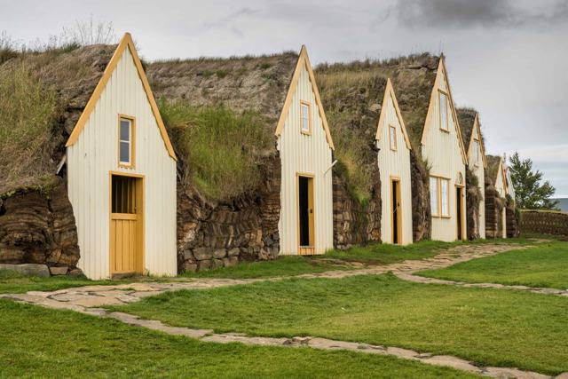
GlaumbærGlaumbærTurf farm museum in SkagafjörðurHvítserkurHvítserkurSea stack on the Vatnsnes peninsula, across Húnaflói

Where to stay near Ketubjörg

This is a day-trip stop rather than an overnight base. Sauðárkrókur, Skagaströnd and Hofsós have guesthouses for those exploring the wider area.

Ketubjörg FAQ

How do you get to Ketubjörg?

By the gravel Route 745 on the Skagi peninsula, about 45 km north of Sauðárkrókur. An ordinary car can usually manage it in summer, but check conditions first.

Is Ketubjörg worth the detour?

If you like quiet coastal cliffs, basalt and birdlife away from the main tourist routes, yes. It is not a stop to plan a short trip around.

Is Ketubjörg safe to visit?

Visit with care. The cliffs are eroding and part of them collapsed in 2019, so stay well back from the edge.

Is there an entry fee?

No, it is free to visit.

More places in North Iceland