Basic Information
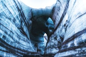
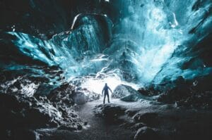
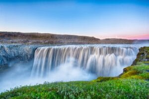
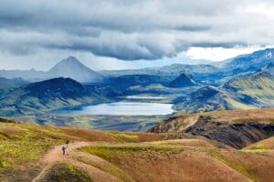
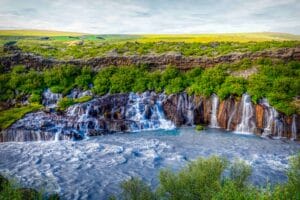
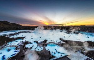
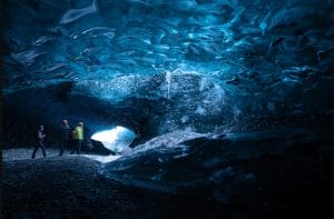
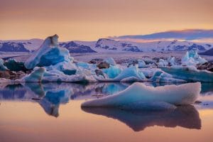
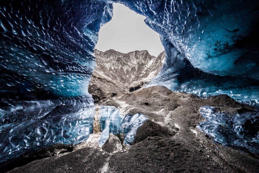
Iceland is one of the most beautiful places to visit and explore the raw and beautiful nature. The foremost thing that strikes when visiting Iceland is the massive panoramic landscape, but it is more than that; Iceland has majestic lava fields, colorful Icelandic rainbow mountains, secret hot springs, staggering waterfalls, active volcanoes, vivid blue glaciers, icebergs at the black sand beach, rugged coastlines, black sand beaches, crystal clear ice caves, and human-sized icebergs and whatnot. It has everything that you ever wish to explore and is there on the bucket list. It has a charm of its own, expect the unexpected when in Iceland. But there is another side of Iceland too. For those curious travelers who want to explore the volcanic sites and the history related to the volcanically active sites, there is one destination that seems perfect to explore. It is Katla Volcano, which is the most active volcano in Iceland.
Explore the Katla Volcano Closely
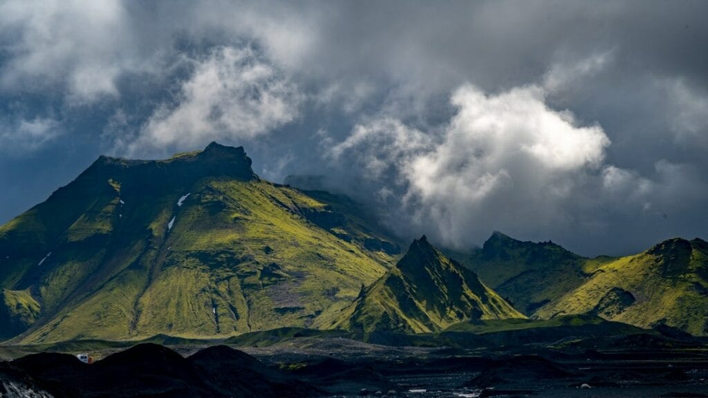
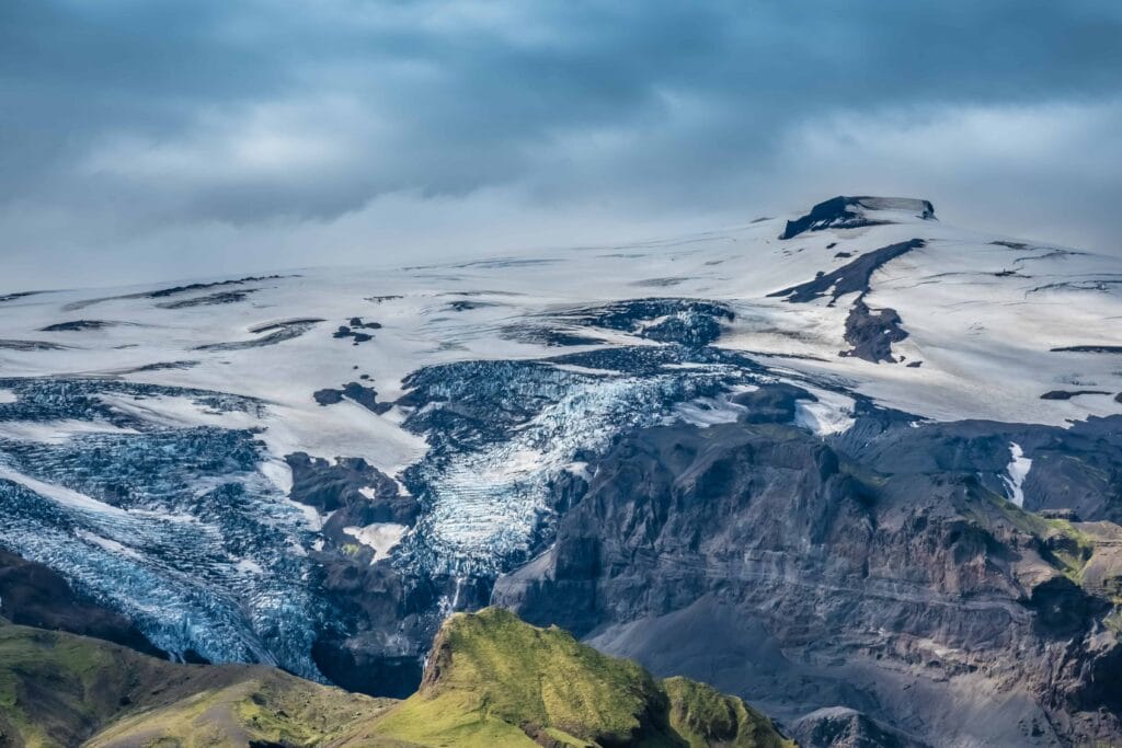
Located in southern Iceland, Katla Volcano is an extremely active volcano that has recorded more than twenty eruptions, and that too in approximately 20-90 years; it was recorded between 930 and 1918. Katla Volcano is hidden beneath the famous Myrdalsjökull icecap, which is also Iceland’s 4th largest ice-cap. It is not only the most active but also one of the most dangerous volcanoes in Iceland. The very famous and massive Eldgjá canyon is also part of this Katla volcanic system, which is approximately 595 sq. km (230 sq. miles).
Located in Iceland’s south coast (north to the village of Vík), this largest volcanic system, Katla, which translates to “kettle”, is connected to Eyjafjallajökull volcano, which has recorded an eruption in 2010 and was one of the massive eruptions which caused widespread disruption in air and excessive changes in climate too. Katla is believed to be triggered by the eruptions here. It is 4,961 feet (1,512 m.) above sea level, while the crater is 6.2 miles (10 km) wide. There is a huge amount of ice at Mýrdalsjökull that remains as it is even after small eruptions. It is as thick as 700 m. at some point, but sometimes even this can be dangerous and lead to unexpected floods and destruction too. For those who are adventure freaks and would like to know more about the history, Katla Volcano proves to be the best place to visit. Owing to the unexpected floods and regular disruptions, there are only a few settlements at this place surrounding Katla. Earlier, many villages have been wiped off by the floods; thus, it seems dangerous to settle in this area. There were powerful floods following 1918’s eruption that cleared away massive swathes of land. The voluminous lava stretched to the southern coastline, which was over 5 km.
Know About the Roads to Katla
The road that takes you to the gigantic Katla Volcano is bumpy and needs good driving skills. Though it is difficult to reach, it is worth the wait. Super jeep tours from Vík village are also available in this area to make the destination accessible. The main road – ring road encircles Iceland and, when traveling towards the south coast, Katla Volcano can be seen from there. Not just from the Ring Road, Katla Volcano is also visible from one of the Mýrdalsjökull’ glacier tongues inclusive of Sólheimajökull, which is the most famous glacier hiking outlet.
Katla Volcano on a map
Interesting locations in the area
Hotels & Restaurants
- Black Beach Suites
- Hotel Kría
- Vík Cottages
- Puffin Hotel vík
- Vík Camping
- The Soup Company
- Strondin Bistro
- Smiðjan Brugghús
- Berg Restaurant
- Suður Vík

