Basic Information
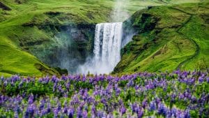
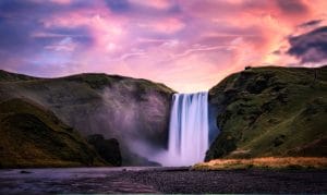
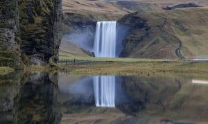
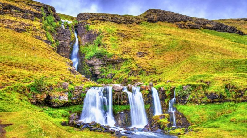
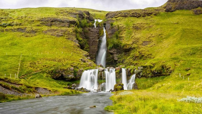
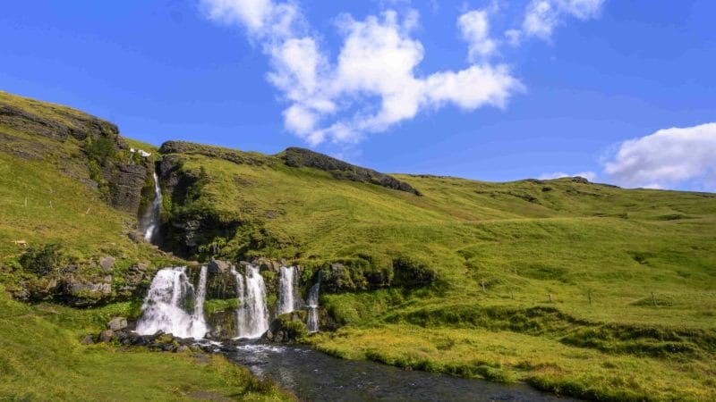
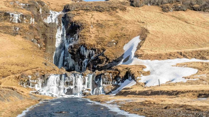
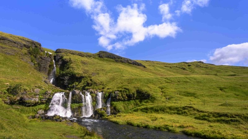
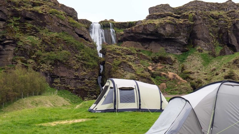
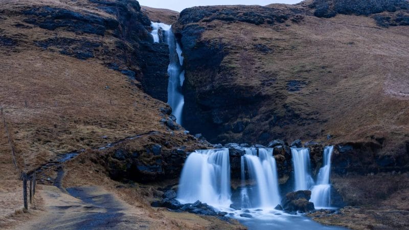
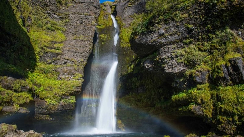
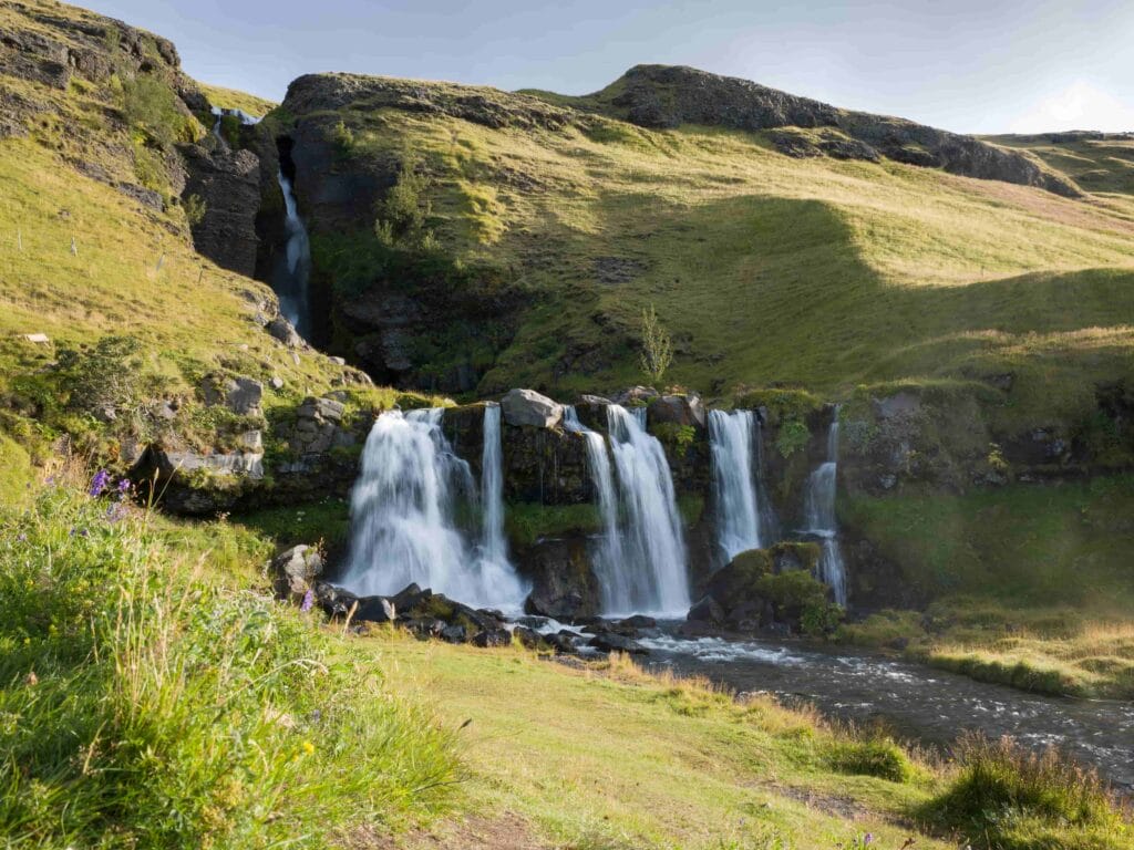
Gluggafoss waterfall is one of Iceland’s hidden gems and has a rare geological composition. This unique waterfall is a part of the series of the falls running from the river Merkjá. Gluggafoss fall drops in two steps, with an initial plunge of 146 feet followed by falling through three channels for 28 feet, resembling a majestic inverted trident. This scenic waterfall has an intriguing history and is among the few falls on earth that have seen a composition change in the past century. The highly picturesque panoramic views and dense green mountains make the Gluggafoss a serene spot for a day-trip of relaxation.
Gluggafoss Waterfalls: Composition and History
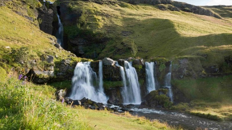
The upper part of the cliff is composed of palagonite, also known as a tuff rock (heavily compacted ash, sand, and boulders), with the lower edge formed of basalt. Palagonite is relatively soft and is easily eroded. The softness of the stone has caused the fall to change over time, with water cascading through multiple “windows”. The windows are known as “gluggar” in Icelandic, hence the name Gluggasfoss/ Window Falls.
According to historical data represented on the signboards at the falls, back in 1947, the Gluggafoss was only visible through the three windows and the upper half of the falls could not be seen. The water flowed in a vertical tunnel behind the cliff and came out of the bottom window, forming a beautiful arch. After the eruption volcano Hekla in 1947, a 20 cm thick layer of volcanic ash was carried downstream by the river causing the vertical tunnel to nearly disappear. The tunnel was completely clogged, forcing the river to bypass the arches entirely. It took nearly 5 decades for the deposited debris to get eroded and for the cliff to return to its previous form.
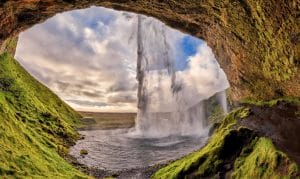
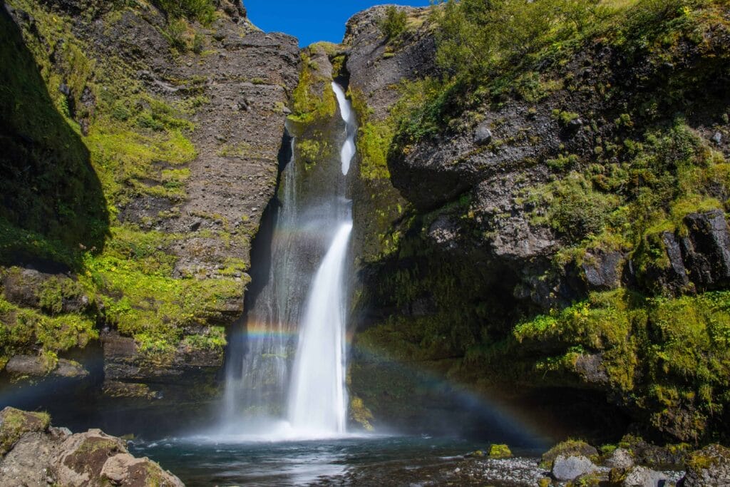
During periods of heavy water flow, a part of the cascading water impacts the second and third arches directly and sprays outward, while the remaining water falls into the grotto and pours out from underneath the third arch.
How to Get to Gluggafoss waterfall
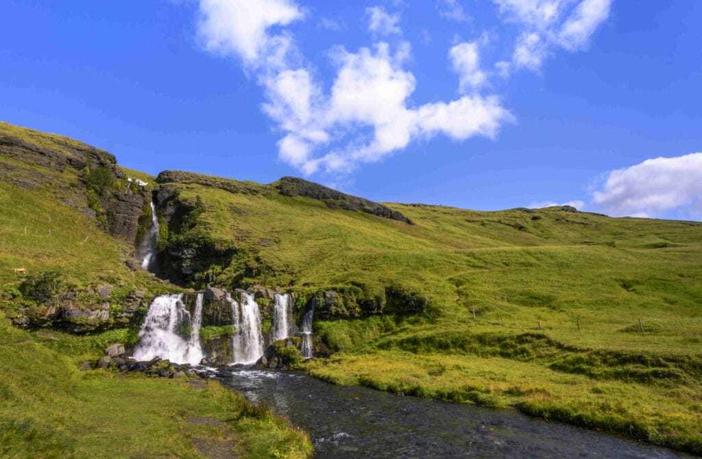
Gluggasfoss falls can be reached by taking Highway 1 from the town of Hvolsvöllur and turning north on to Route 261. Following the road for around 17.3 km will get you to the parking area. Alternatively, you can take Route 250 and turn left at the junction where it intersects Route 261. You will find yourself on a dirt road, but it is well-groomed and passable by small cars.
Activities in and Around the Falls
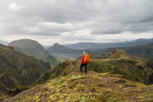
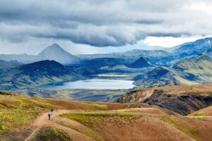
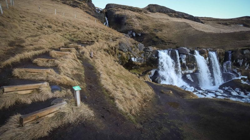
A short path takes you up to the waterfall from the parking area. It is also possible to walk behind the lower section of Gluggafoss, but doing so will get you wet. As the falls are a part of a series of falls from the Merkja river, travelers can take a hiking tour of the “Saga Trail” comprising of Gluggafoss and its neighboring waterfalls. A short trail can also be taken up to the adjacent hills for mesmerizing views of the grotto and the farmlands around the area. The beautiful surroundings include the Fljotshlid area and Eyjafjallajokull glacier.
Gluggafoss waterfall on a map
Interesting locations in the area
Hotels & Restaurants
- Black Beach Suites
- The Barn
- Hotel Katla
- Hotel Vík
- Puffin Hotel vík
- Vík Camping
- The Soup Company
- Strondin Bistro
- Smiðjan Brugghús
- Berg Restaurant
- Suður Vík

